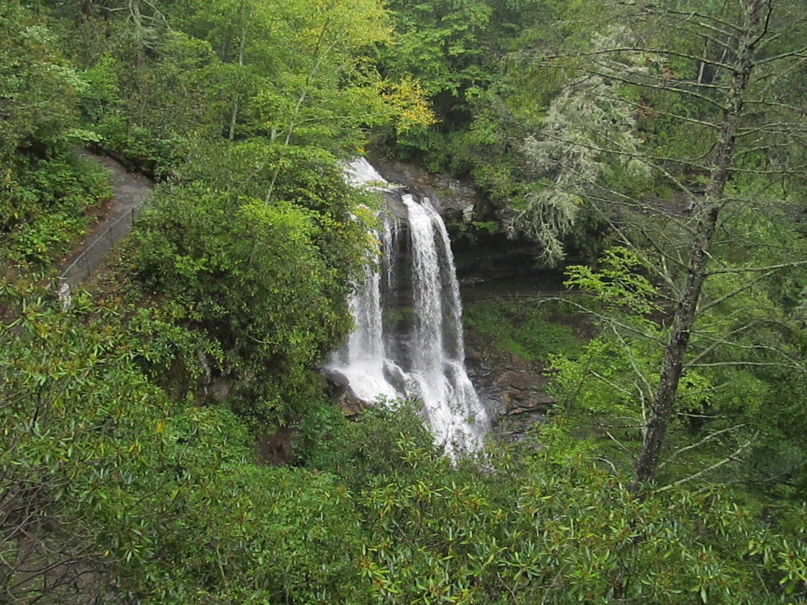
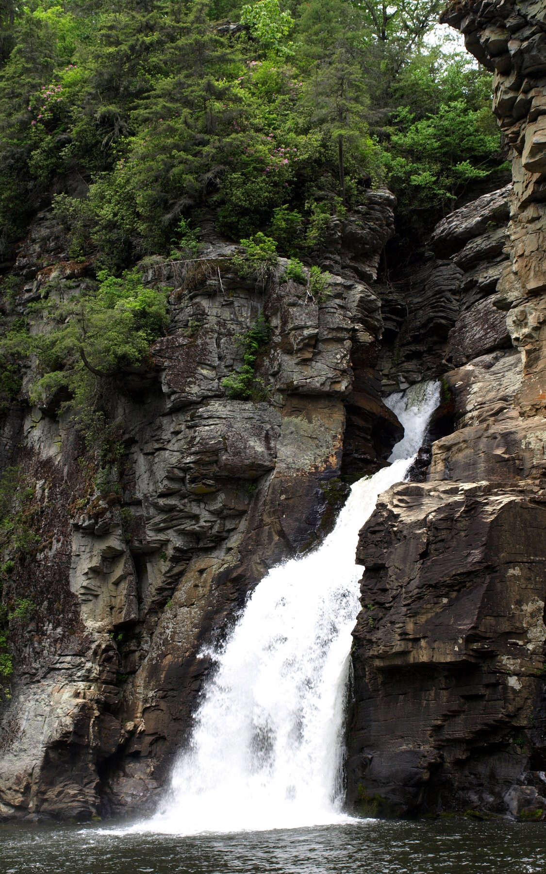
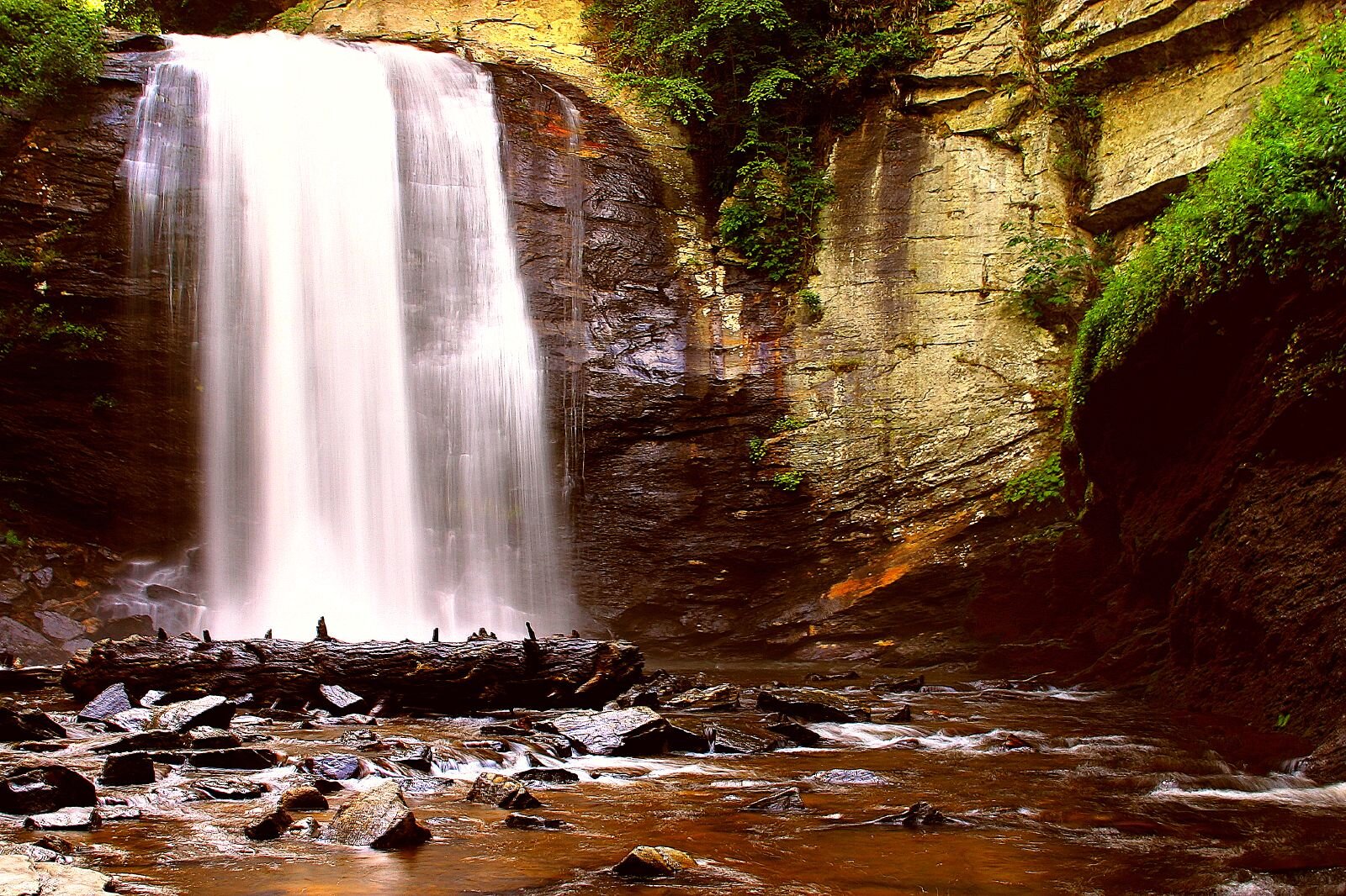
Bemis Camp Falls is a named waterfall feature in the Graham area of North Carolina.
The U.S. Geological Survey records this feature at 35.341111, -84.002500. The map link opens that geographic point so you can understand where the feature lies in relation to the surrounding area.
This entry currently provides a source-backed location record. A visitor route, public-access status, seasonal advice, and an original on-the-ground review have not been verified for this listing.
The GNIS record places the feature on the Big Junction USGS topographic map. That is a map-sheet name, not a confirmation that the waterfall sits in a town of the same name.
Geographic & name notes
The following public-domain notes are reproduced from the USGS names database. They may describe historical naming or geography; they do not establish present-day access.
35 ft. high; in Nantahala National Forest on Santeetlah Creek, 1.65 mi. ENE of Stratton Gap
The name refers to the old Bemis Logging Camp, located approximately 0.75 mi. upstream from the falls.
Plan a visit carefully
Identify the managing landowner or agency and a lawful visitor route before setting out. A mapped waterfall can be on private, tribal, protected, or inaccessible land. Do not treat the feature coordinate as a parking location or a driving destination.
Not yet verified.
Not yet verified.
Not yet researched for this entry.
A correctly identified, reusable photograph is still being sourced.
Sources & further reading
- USGS Geographic Names Information System (GNIS) — feature 2831276 ↗
- USGS — how GNIS records are defined ↗