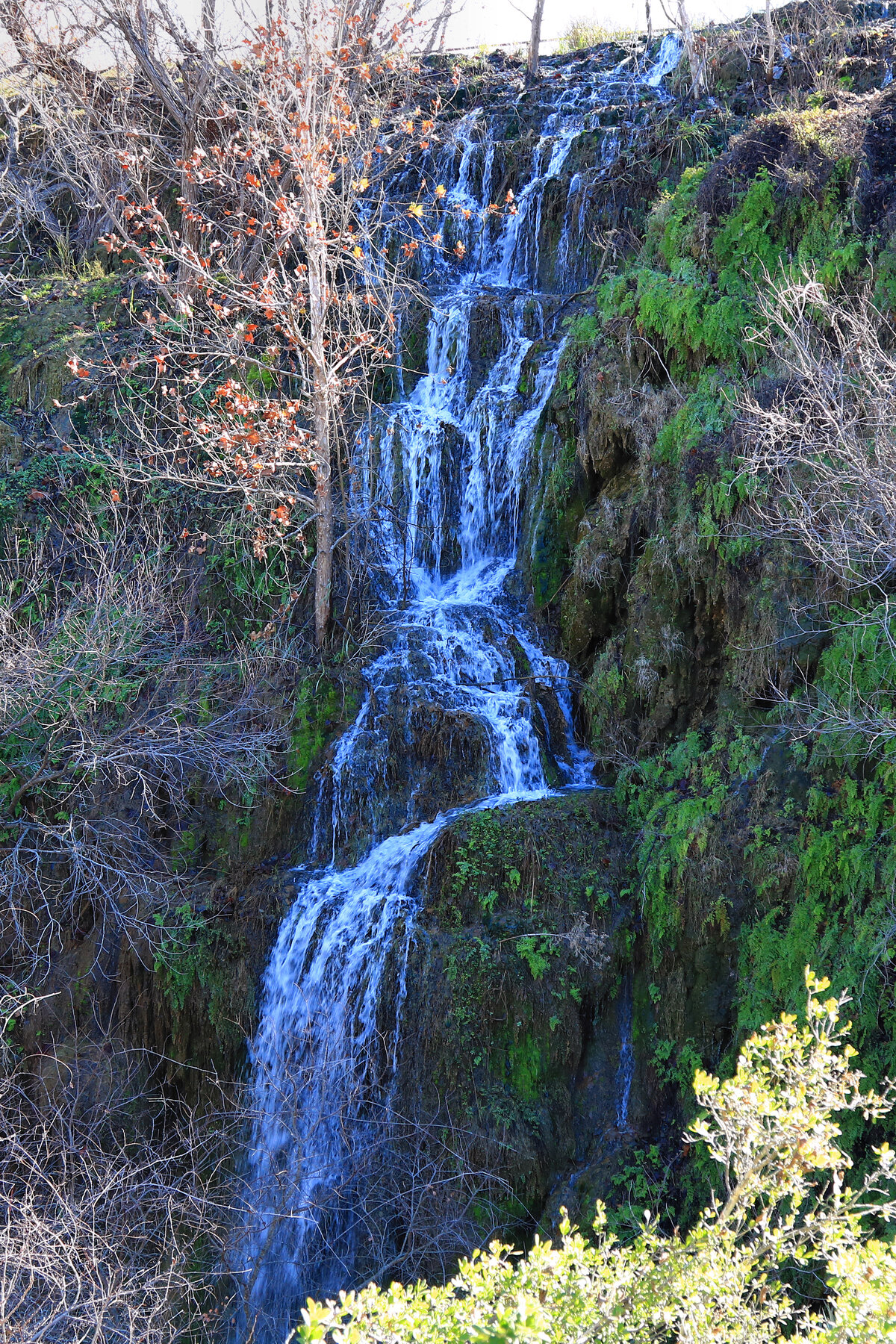
A rare, usually-flowing spring-fed desert waterfall in Big Bend National Park, reached by an unmarked route not listed among the park's official day hikes.
Cattail Falls is a spring-fed waterfall in a side canyon in Big Bend National Park, notable for keeping at least some flow even when most of the park's desert washes run dry. For years the historic approach crossed land tied up in a right-of-way dispute with an adjoining conservancy, and the route was never an official, maintained park trail. As of this review, Cattail Falls still does not appear among the named routes on the National Park Service's desert-hikes or backcountry-hiking pages, and current park alerts make no mention of it, so it should be treated as an unmarked, undesignated route rather than an established trail with posted mileage.
Because NPS has not published an official trailhead, distance, or difficulty rating for Cattail Falls, check with Big Bend rangers or the Panther Junction Visitor Center for current guidance before considering it. Standard park rules still apply: Big Bend charges $30 per private vehicle, valid 7 days, and summer heat in the Chihuahuan Desert is dangerous without ample water. Given the lack of a maintained route, approach this as a self-sufficient backcountry undertaking, not a casual stop.
Know before you go
No official trailhead is posted by NPS; historically reached via an unmarked route near Oak Spring. Check with Big Bend rangers before attempting.
A rare desert waterfall reported to keep at least some flow much of the year thanks to a spring source, though flow still varies with rainfall.
Not listed with a posted distance or difficulty rating on NPS's desert-hikes or backcountry pages at review; treat as an unmarked backcountry route.
$30 per private vehicle, valid 7 days (standard Big Bend entrance fee).
Not an accessible or maintained route.
2026-10-12. Conditions and requirements can change; confirm with the land manager before travelling.
Sources & further reading
- NPS Big Bend — Desert Hikes ↗
- NPS Big Bend — Alerts & Conditions ↗
- USGS Geographic Names Information System (GNIS) ↗
This is a researched visitor guide, not a claim that our editors have personally visited. Trail conditions, permits, and access can change.