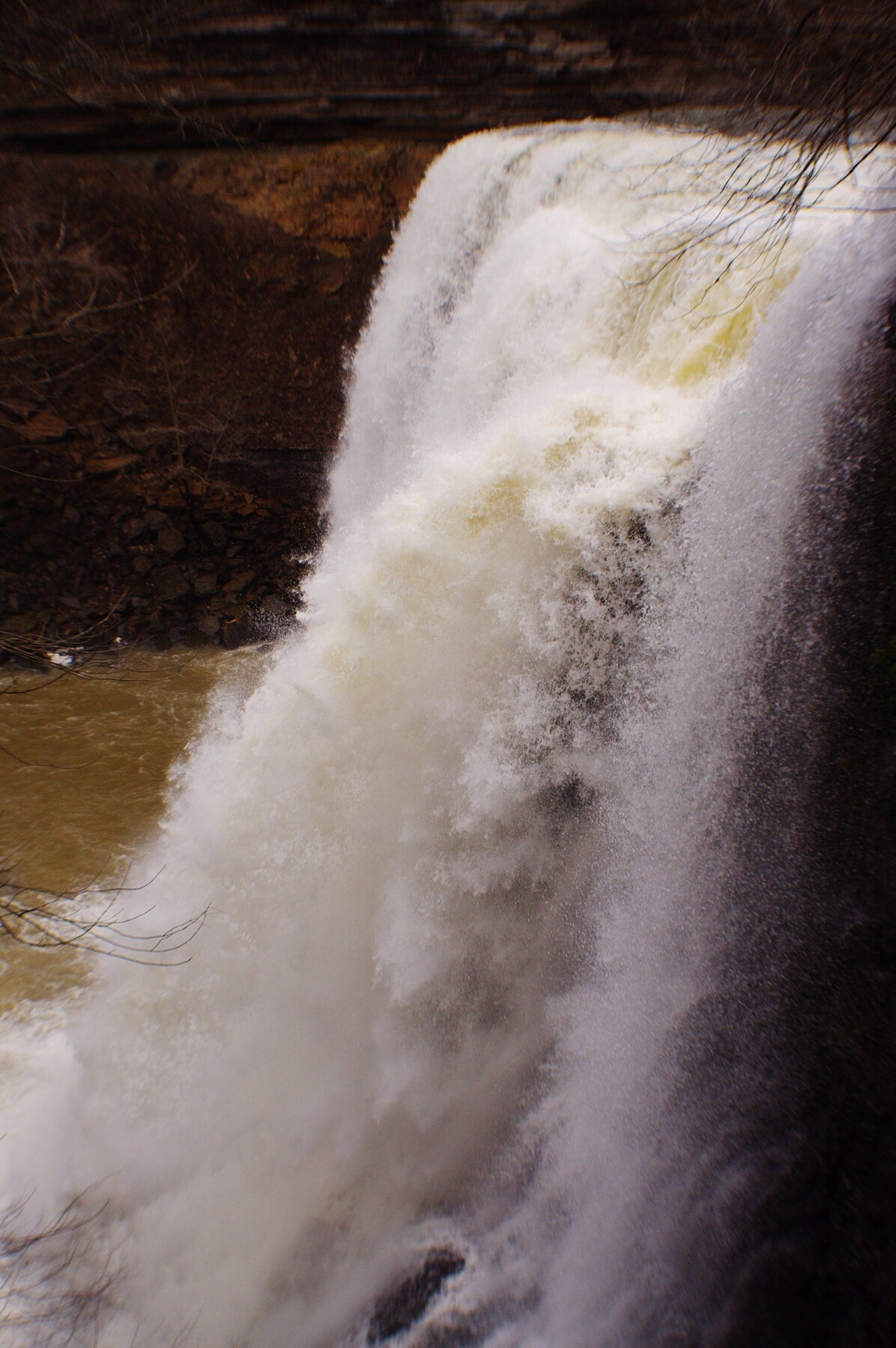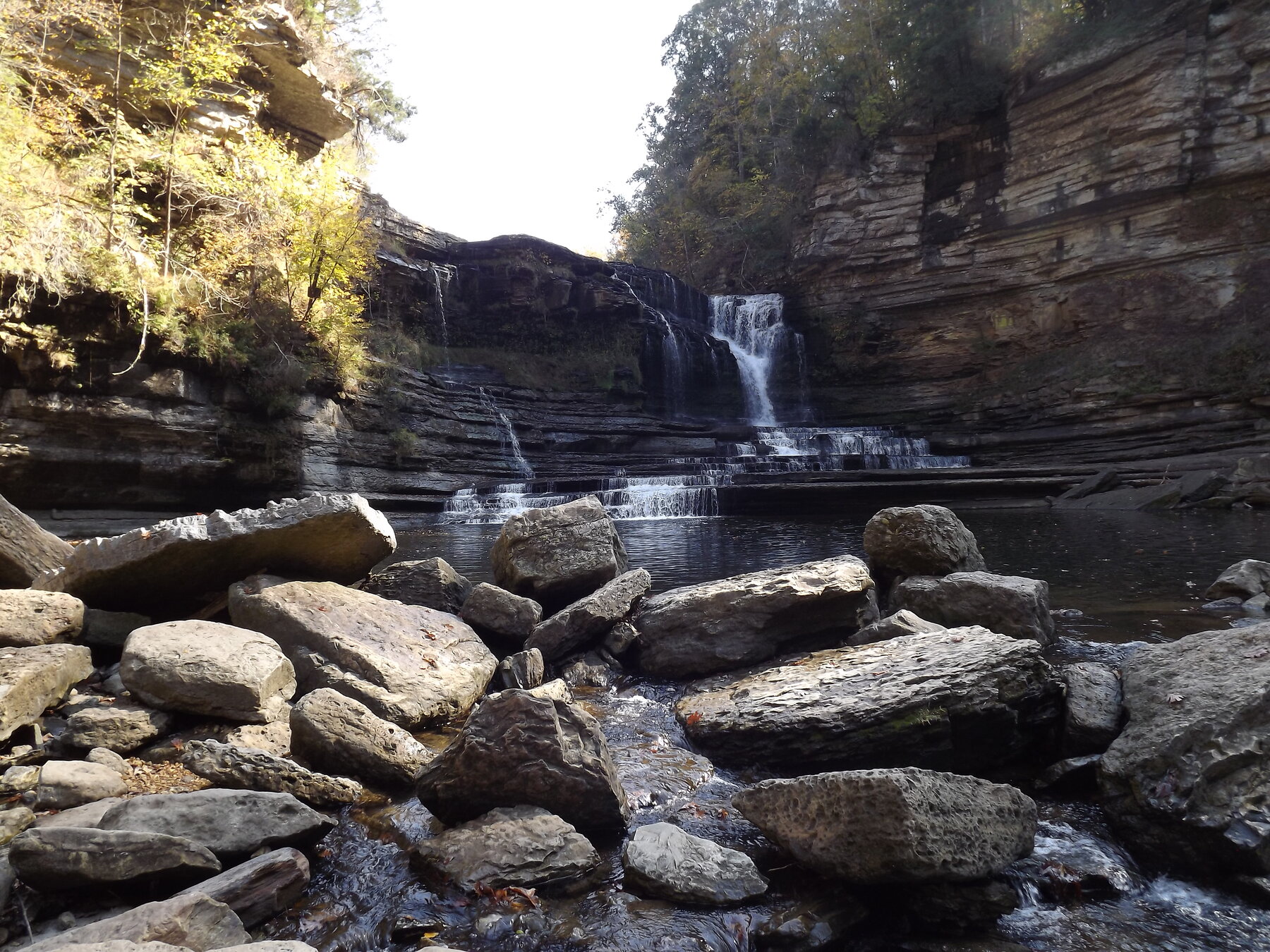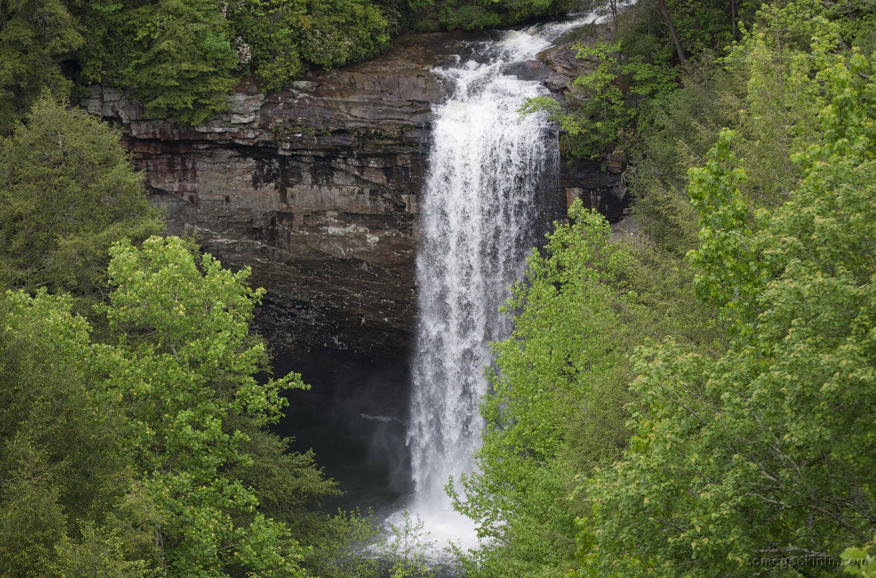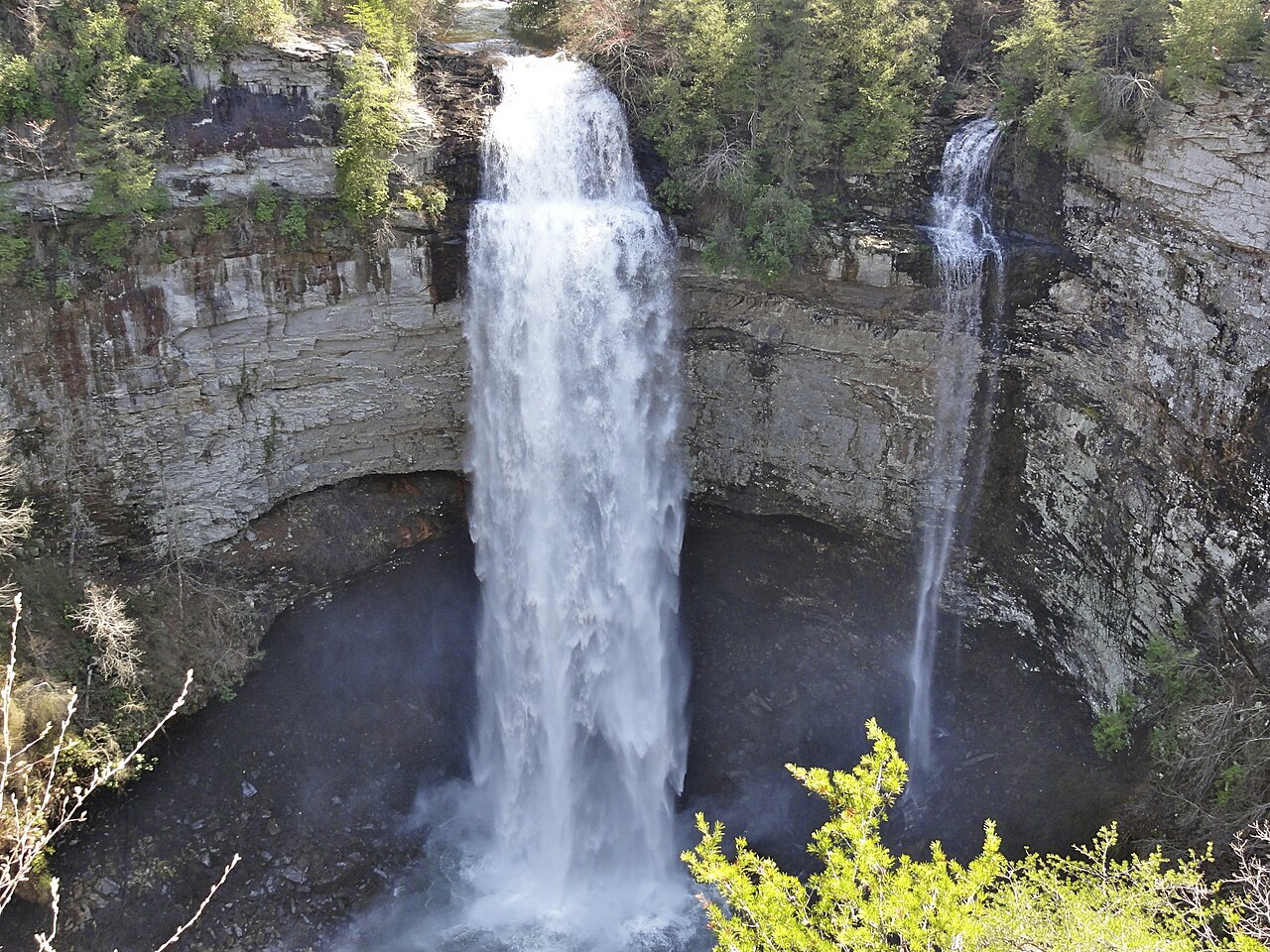
A 256-foot plunge in a large Cumberland Plateau park with several neighboring waterfalls.
Fall Creek Falls drops into a shaded gorge within a much larger protected landscape. Tennessee identifies the waterfall’s height as 256 feet. The surrounding natural area includes plateau forest, streams, caves and wooded ravines, so the visit is about the landscape as well as the main waterfall.
Allow room in the itinerary for more than one stop. Piney Falls, Cane Creek Falls and Cane Creek Cascades are also within the park, and the wider trail network offers many different outings. The existence of a nearby overlook does not mean every route into the gorge is suitable for every walker. Start with the current park map, choose a route that fits your ability and confirm conditions with staff. Preserve time for the return climb when selecting a trail that descends below the rim.
Know before you go
Fall Creek Falls State Park; entrances from Highway 284.
Check current weather, trail and park notices.
Choose among overlooks and the broader park trail network.
Check current park information and optional activity charges.
Confirm the specific overlook or trail with park staff.
2026-10-11. Conditions and requirements can change; confirm with the land manager before travelling.
Sources & further reading
- Tennessee — Fall Creek Falls State Natural Area ↗
- Tennessee State Parks — Fall Creek Falls ↗
- USGS Geographic Names Information System (GNIS) ↗
This is a researched visitor guide, not a claim that our editors have personally visited. Trail conditions, permits, and access can change.