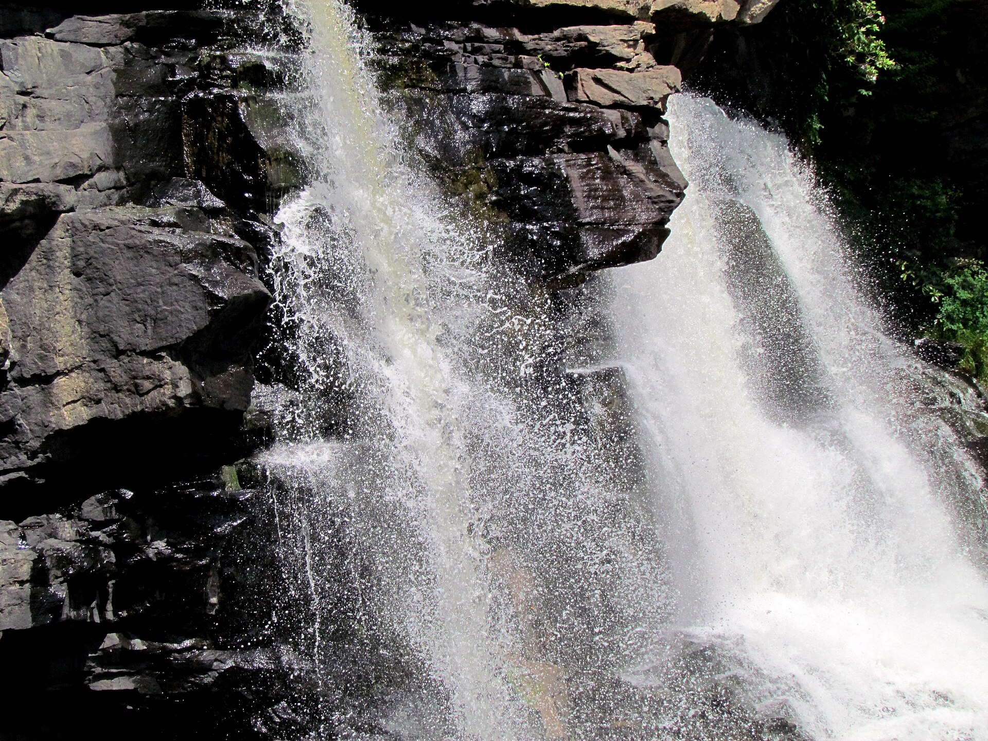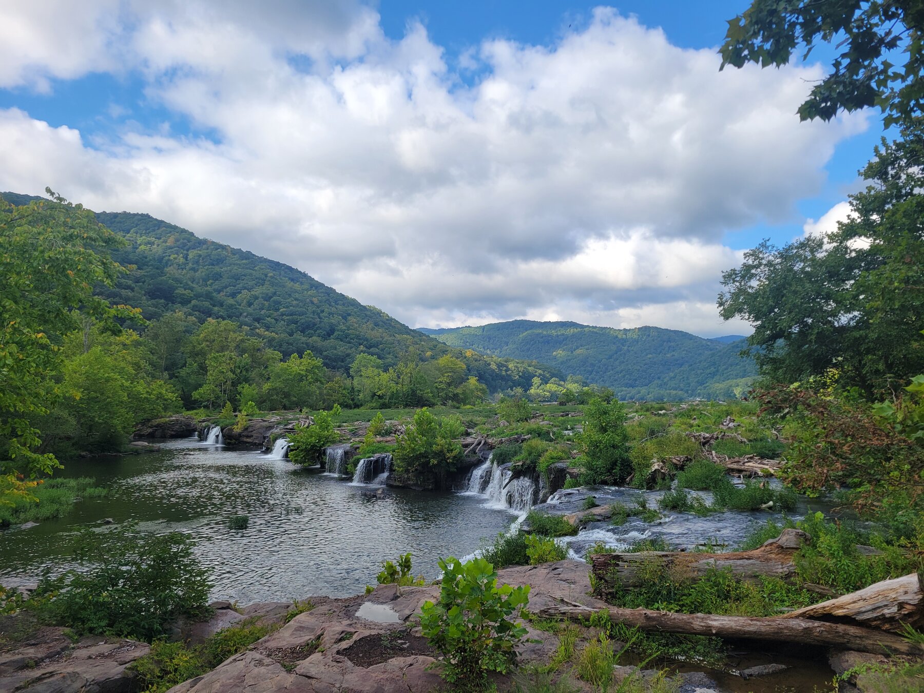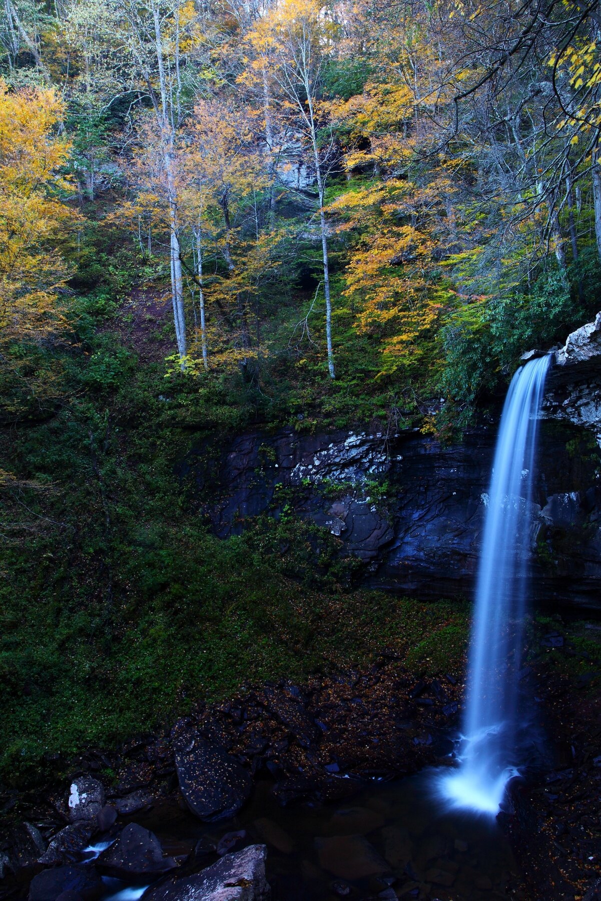
Three waterfalls up to 63 feet tall in a narrow gorge, reached by a boardwalk and paved trail in Monongahela National Forest.
Falls of Hills Creek is a cluster of three waterfalls -- 25, 45, and 63 feet tall -- cut into a narrow sandstone-and-shale gorge off the Highland Scenic Highway in the Gauley Ranger District of Monongahela National Forest. The US Forest Service notes the lowest of the three, at 63 feet, ranks as the second-highest waterfall in West Virginia. A three-quarter-mile trail reaches all three overlooks, descending through the gorge past the middle falls to the lower falls.
The first 1,700 feet of trail are paved and wheelchair accessible, leading to a viewing platform at the upper falls; beyond that point the route continues via stairways and boardwalks down to the middle and lower falls, a round trip the Forest Service estimates takes about an hour. There is no fee to visit, and at our review the Forest Service listed no active alerts and a low fire-danger rating for the area, though the scenic area normally opens only once snow-free, with toilets opening around April 20. Check current Forest Service conditions before a winter or early-spring visit, and use caution on the gorge's steep steps and overlooks.
Know before you go
Monongahela National Forest, Gauley Ranger District, off the Highland Scenic Highway (WV Route 150), about 6 miles west of the Cranberry Mountain Nature Center near Richwood, WV.
Area opens when snow-free; restrooms typically open around April 20. Check current Forest Service conditions before visiting.
0.75-mile round trip; first 1,700 feet paved and wheelchair accessible to the upper falls, then stairways and boardwalk to the middle and lower falls (about 1 hour round trip).
No fee.
Paved, wheelchair-accessible path to the upper falls viewing platform; stairs and boardwalk beyond that point are not accessible.
2026-10-11. Conditions and requirements can change; confirm with the land manager before travelling.
Sources & further reading
- Monongahela National Forest -- Falls of Hills Creek ↗
- USGS Geographic Names Information System (GNIS) ↗
This is a researched visitor guide, not a claim that our editors have personally visited. Trail conditions, permits, and access can change.