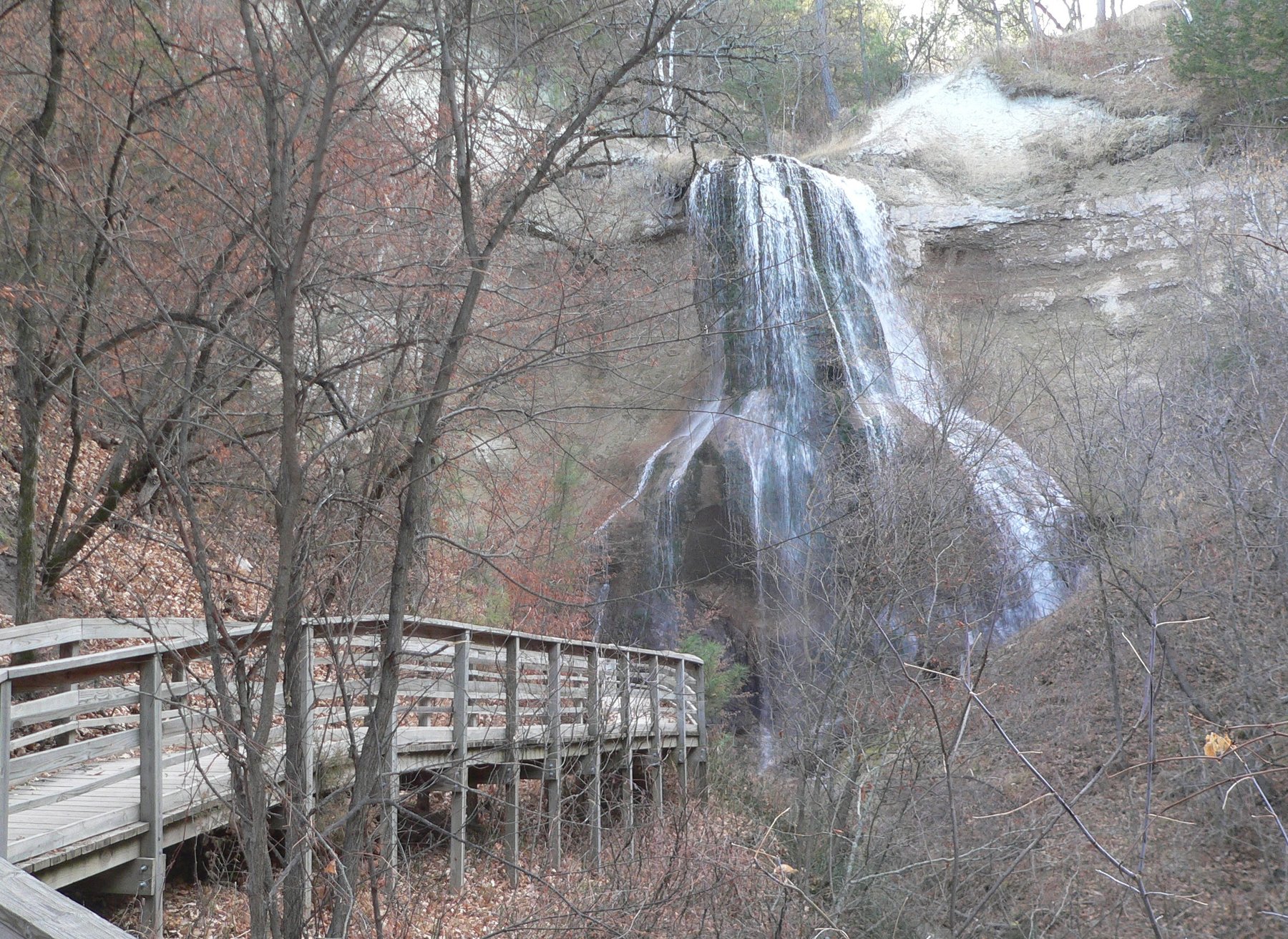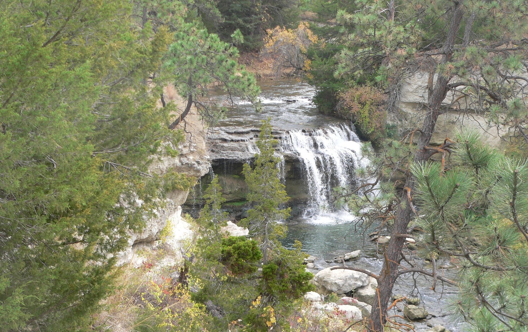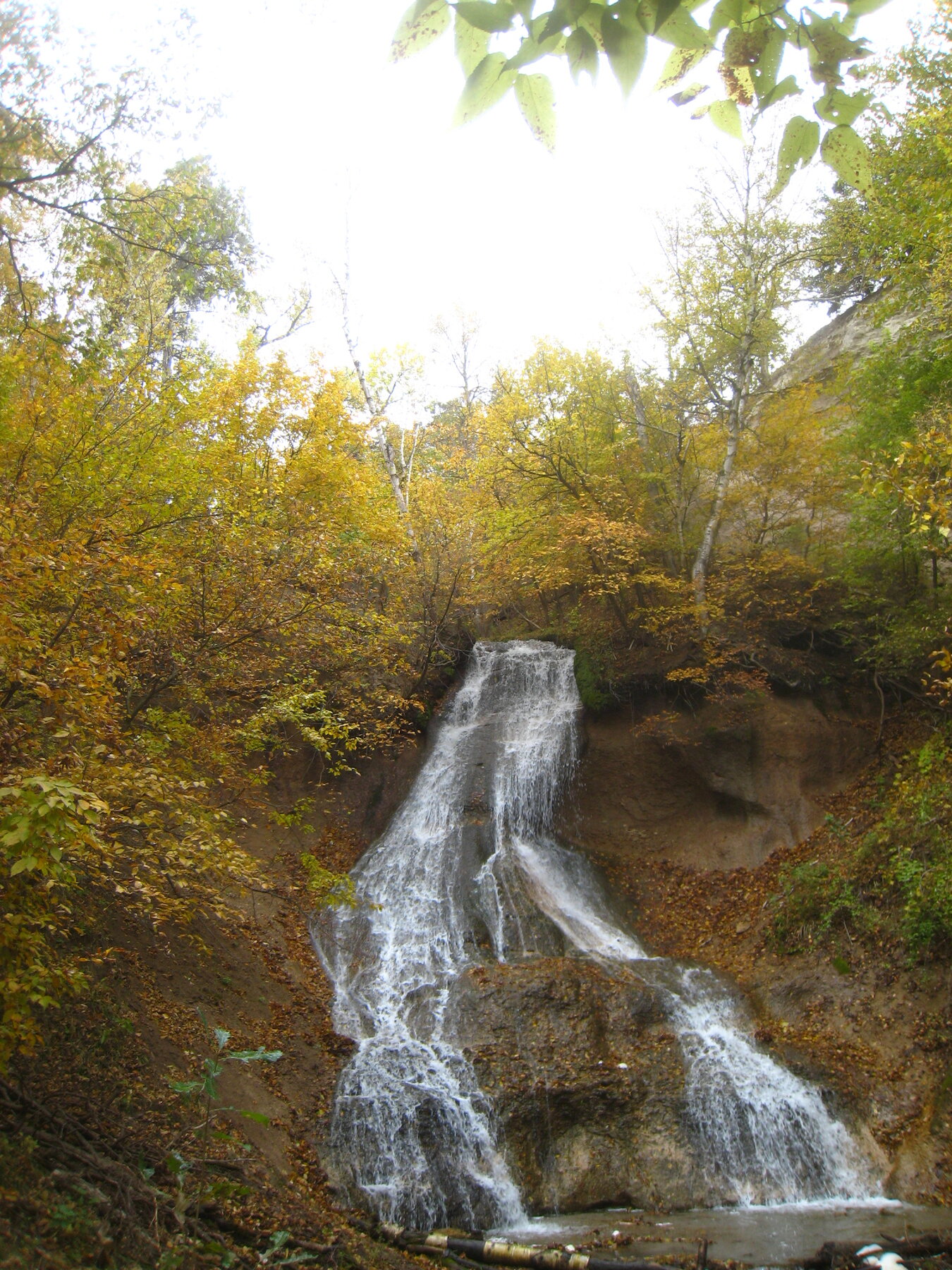
A small waterfall within Fort Niobrara National Wildlife Refuge, a 19,131-acre Sandhills refuge near Valentine, Nebraska.
Fort Falls is a small waterfall within Fort Niobrara National Wildlife Refuge, a 19,131-acre U.S. Fish and Wildlife Service refuge in the Nebraska Sandhills five miles east of Valentine off Highway 12. The refuge, established in 1912, protects mixed-grass prairie, pine-studded canyons, and a bison herd along the Niobrara National Scenic River, and the falls sits within that landscape of spring-fed creeks cutting down through birch and pine draws toward the river.
The refuge's official visitor information covers daily access, hours, and directions, but does not post a confirmed trail distance or drop height for Fort Falls specifically; visitors should pick up a current map at the Visitor Center (open weekdays 8 a.m. to 4 p.m., excluding federal holidays) or call ahead to confirm the route. Refuge grounds are open daily, year-round, from sunrise to sunset, and daily use is free (river floaters need a wristband from the launch-area kiosk). Reach the refuge from Valentine via State Highway 12 east, then Berry Bridge Road across Cornell Bridge.
Know before you go
Fort Niobrara National Wildlife Refuge, 39983 Refuge Road, Valentine, NE; 5 miles east of Valentine off Hwy 12.
Refuge grounds open daily, year-round, sunrise to sunset.
Official refuge materials do not post a confirmed distance for the Fort Falls route; check the Visitor Center map.
Daily refuge use is free; river floaters need a wristband from the launch-area kiosk.
Verify current trail surface and accessibility with refuge staff.
2026-10-12. Conditions and requirements can change; confirm with the land manager before travelling.
Sources & further reading
- U.S. Fish & Wildlife Service — Fort Niobrara National Wildlife Refuge ↗
- USGS Geographic Names Information System (GNIS) ↗
This is a researched visitor guide, not a claim that our editors have personally visited. Trail conditions, permits, and access can change.