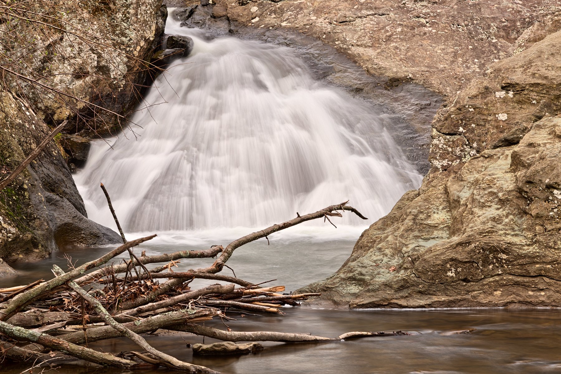
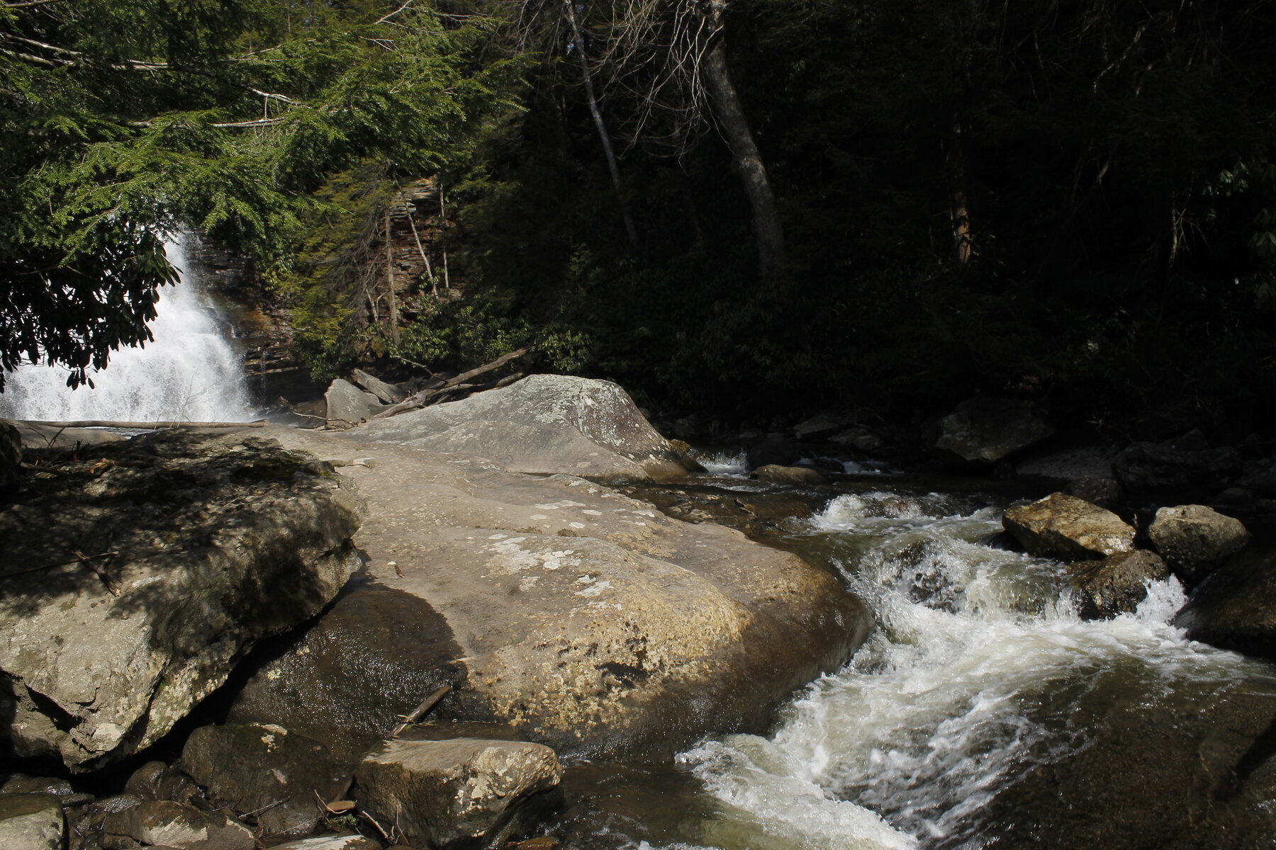
A small cascade on North East Creek in Cecil County, best known as the setting of the historic Gilpin's Falls Covered Bridge.
Gilpins Falls is a small cascade on North East Creek in Bay View, in the North East area of Cecil County, Maryland, best known today as the setting for the historic Gilpin's Falls Covered Bridge. The bridge was built beside Samuel Gilpin's former mill and dam, is listed on the National Register of Historic Places, and was restored in 1959 and rehabilitated again in 2010; it is now closed to vehicle traffic and preserved as a pedestrian landmark.
We could not find a current official park, county, or state page describing public access, a trail, fees, or seasonal character specifically for the falls: Cecil County's parks and recreation listings do not include a site by this name, and we found no dedicated Maryland state park, DNR, or historical trust visitor page for it either. Treat this as a historic roadside landmark rather than a maintained park, and check with Cecil County government for current access, parking and safety information before visiting - the covered bridge itself is well documented as a National Register landmark, even though day-to-day visitor information about the falls is not readily available.
Know before you go
Bay View / North East area, Cecil County, MD, at the historic Gilpin's Falls Covered Bridge; no official visitor facility identified.
Not documented on an official page; check current conditions before visiting.
No official trail or distance found; the bridge area is a historic pedestrian landmark, not a signed waterfall trail.
No fee information found; appears to be an unstaffed roadside site.
Not documented; verify locally with Cecil County government.
2026-10-12. Conditions and requirements can change; confirm with the land manager before travelling.
Sources & further reading
- National Register of Historic Places nomination — Gilpin's Falls Covered Bridge ↗
- Cecil County, MD — Parks & Recreation ↗
- USGS Geographic Names Information System (GNIS) ↗
This is a researched visitor guide, not a claim that our editors have personally visited. Trail conditions, permits, and access can change.