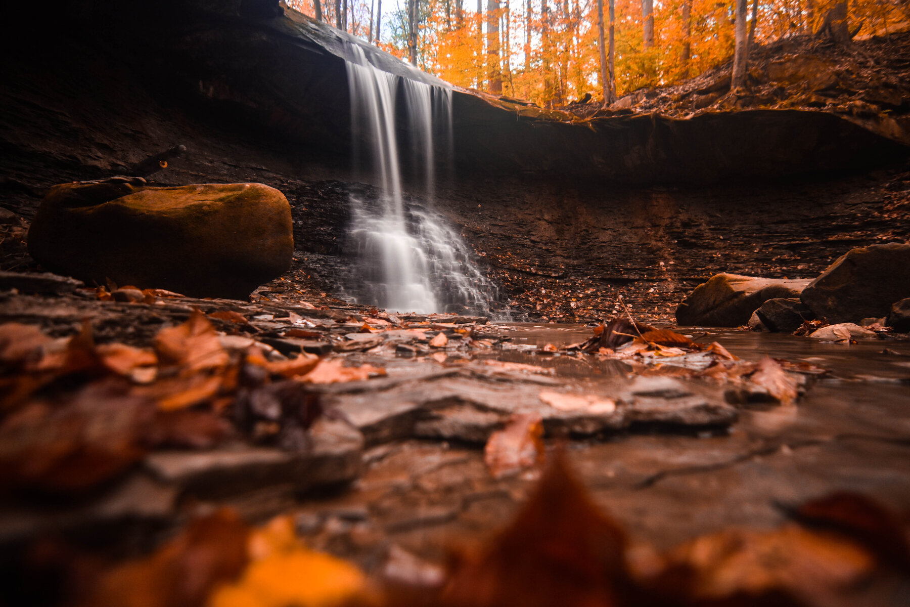
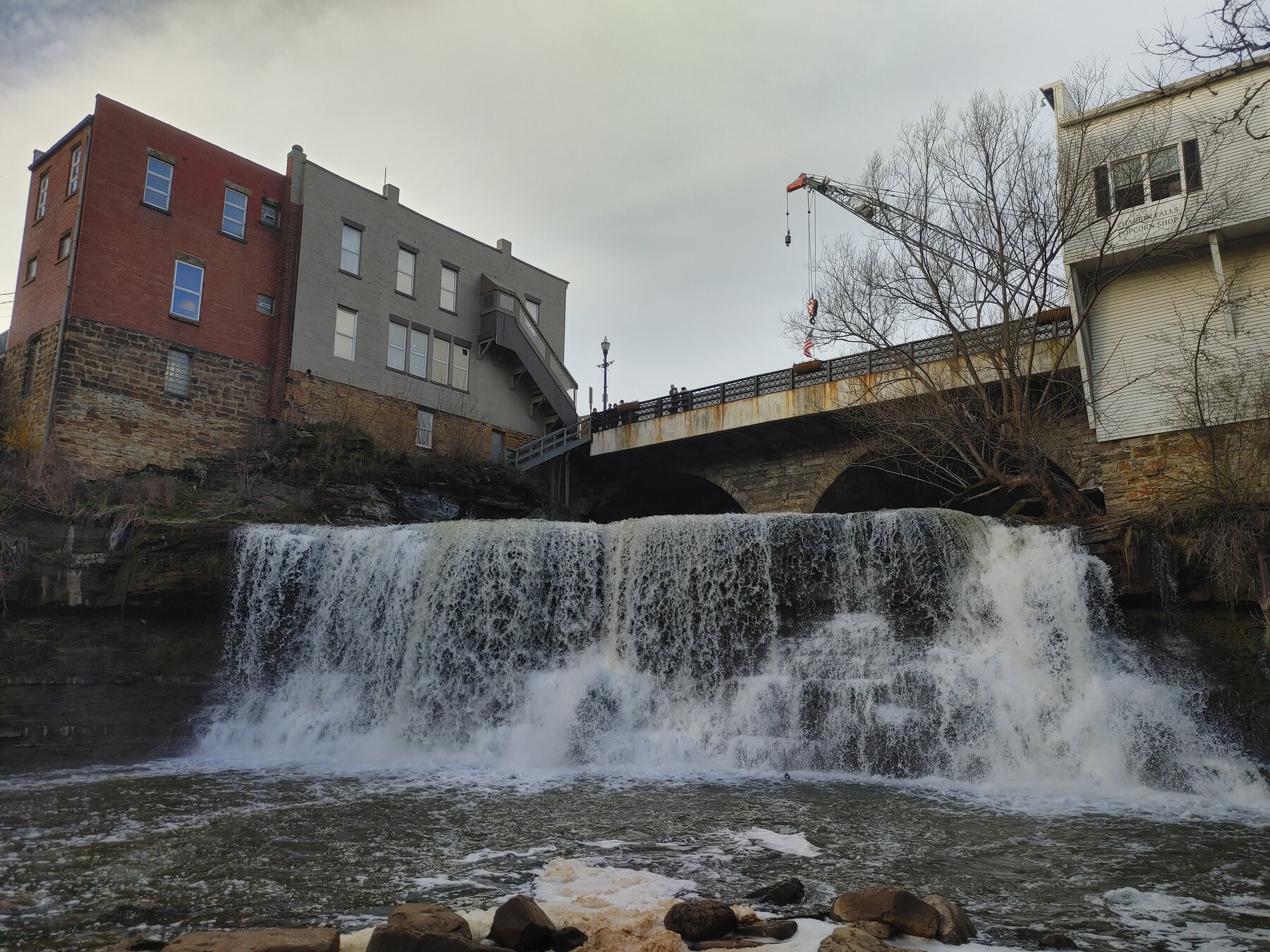
Great Falls is a named waterfall feature in the Cuyahoga area of Ohio.
The U.S. Geological Survey records this feature at 41.383665, -81.532342. The map link opens that geographic point so you can understand where the feature lies in relation to the surrounding area.
This entry currently provides a source-backed location record. A visitor route, public-access status, seasonal advice, and an original on-the-ground review have not been verified for this listing.
The GNIS record places the feature on the Shaker Heights USGS topographic map. That is a map-sheet name, not a confirmation that the waterfall sits in a town of the same name.
Geographic & name notes
The following public-domain notes are reproduced from the USGS names database. They may describe historical naming or geography; they do not establish present-day access.
Located along Tinkers Creek, just south of Bedford. Also located within Bedford Township, Original Lot 56, and the Connecticut Western Reserve.
Gates Mills Falls was named for the nearby mill.
Plan a visit carefully
Identify the managing landowner or agency and a lawful visitor route before setting out. A mapped waterfall can be on private, tribal, protected, or inaccessible land. Do not treat the feature coordinate as a parking location or a driving destination.
Not yet verified.
Not yet verified.
Not yet researched for this entry.
A correctly identified, reusable photograph is still being sourced.
Sources & further reading
- USGS Geographic Names Information System (GNIS) — feature 1922950 ↗
- USGS — how GNIS records are defined ↗