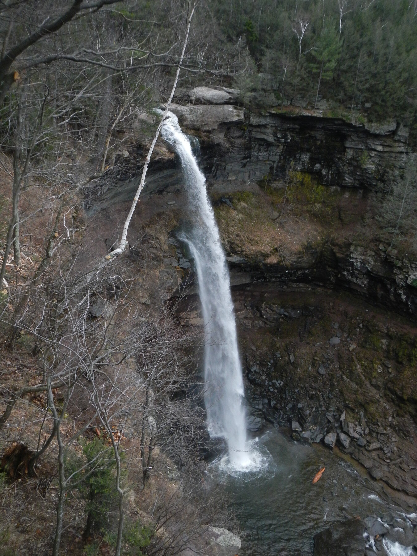
New York's tallest waterfall, a two-tiered 260-foot drop reached by a short trail in the Catskill Forest Preserve.
Kaaterskill Falls drops a total of about 260 feet in two tiers — a 175-foot upper fall and an 85-foot lower fall — making it the tallest waterfall in New York State. The falls sit within the Catskill Forest Preserve near Haines Falls, in a setting long painted and photographed by Hudson River School artists, and today draw heavy crowds, especially on summer and fall weekends.
The New York State Department of Environmental Conservation maintains a 0.3-mile gravel trail from the Laurel House Road parking area on Route 23A to an observation platform, with minimal elevation change. DEC's own guidance is blunt: stay on the trail and do not hike beyond its end, and do not attempt to climb the falls, calling it dangerous. The agency has also tightened parking and enforcement in the area in past seasons as crowding grew, closing informal pull-offs and posting rangers to manage traffic. Treat the platform as the intended viewpoint rather than a route to the base or top of the falls, and check current DEC trail and parking notices before visiting.
Know before you go
Laurel House Road parking area off NY Route 23A, Catskill Forest Preserve near Haines Falls; DEC-managed lots fill quickly on weekends.
Open year-round; flow and ice conditions vary seasonally. Check current DEC notices before visiting.
0.3-mile gravel walk from the Laurel House Road parking area to an observation platform; minimal elevation change (about a 7% grade).
No fee noted for the Laurel House Road trailhead.
Short, mostly level gravel trail to the viewing platform; verify current conditions with DEC.
2026-10-12. Conditions and requirements can change; confirm with the land manager before travelling.
Sources & further reading
- NYS DEC — Catskill Hikes (Kaaterskill Falls) ↗
- NYS DEC — Kaaterskill Falls & North-South Lake Trail Map ↗
- USGS Geographic Names Information System (GNIS) ↗
This is a researched visitor guide, not a claim that our editors have personally visited. Trail conditions, permits, and access can change.