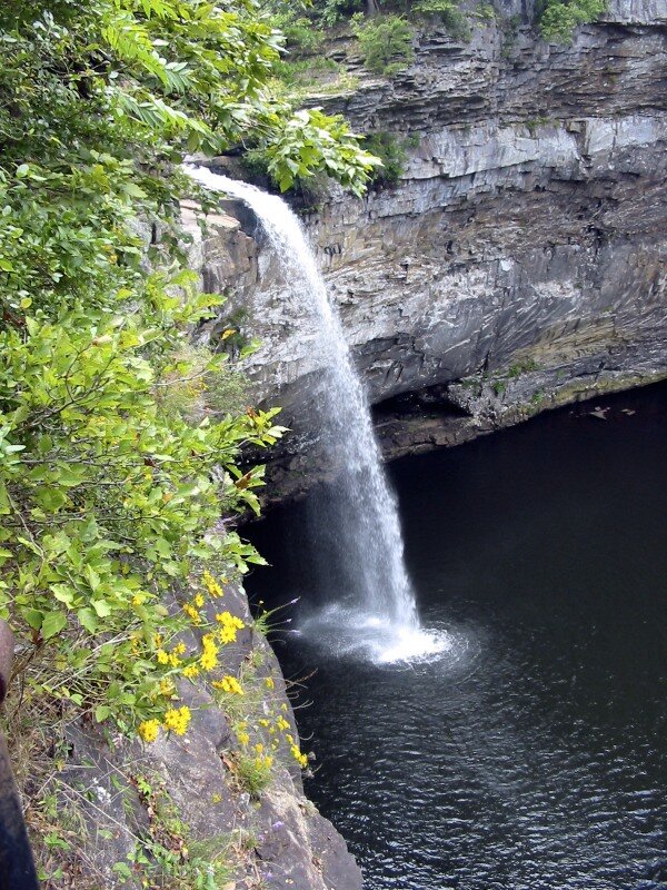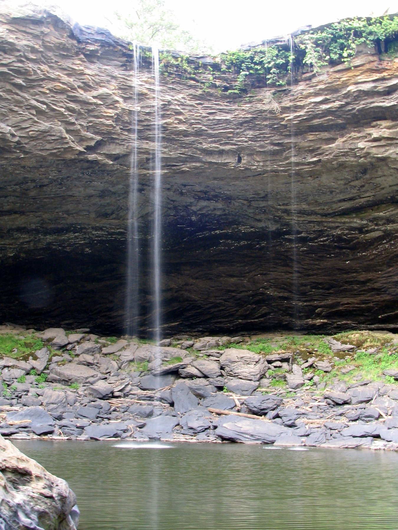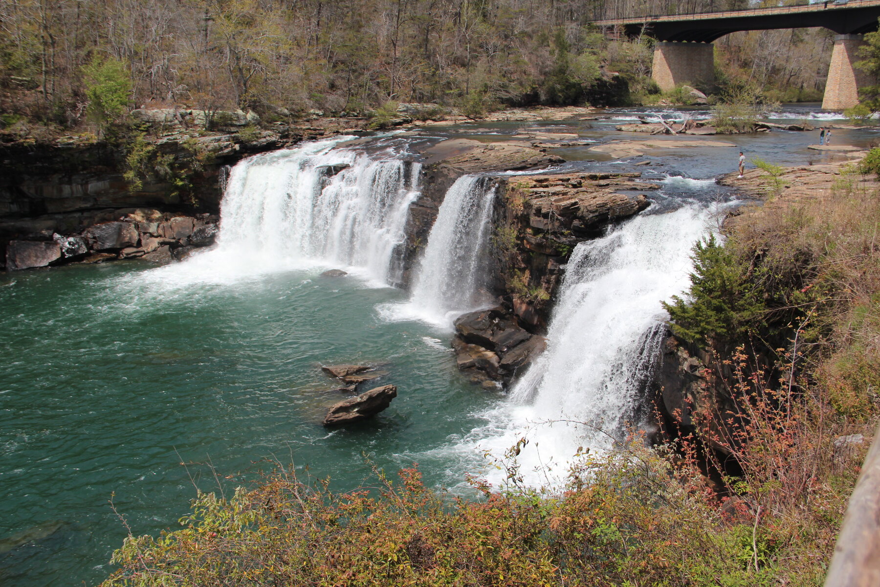
A 45-foot waterfall marking the head of Little River Canyon, viewed from a boardwalk beside the Alabama Highway 35 bridge.
Little River Falls marks the head of Little River Canyon, where the river drops about 45 feet beside the Alabama Highway 35 bridge between Fort Payne and Gaylesville. The National Park Service maintains a boardwalk overlook here with two route options, one built for visitors with walking difficulties and the other descending rock steps, plus a gazebo, picnic area, and a 100-car parking lot. Flow varies by season and rainfall, running highest in winter and early spring and dropping off in summer and fall.
There is no charge to view the falls from the overlook, though the preserve's Canyon Mouth Park entrance farther downstream requires a separate pass. The Park Service asks visitors to stay 50 feet back from the edge, a legal requirement, and closes the overlook area after dark with no overnight parking. A separate, more demanding three-quarter-mile trail leads from the area toward Little Falls and the Hippie Hole, with a steep, rocky final 200 feet that is not part of the main overlook route.
Know before you go
Little River Canyon National Preserve, beside the Alabama Highway 35 bridge between Fort Payne and Gaylesville.
Flow is highest in winter and early spring, lower in summer and fall, and depends on recent rainfall.
Boardwalk overlook with two short route options, one designed for visitors with walking difficulties; a separate, harder 0.75-mile trail leads toward Little Falls/Hippie Hole.
No charge at the Little River Falls overlook; a separate entrance pass is required at Canyon Mouth Park.
One boardwalk route is built for visitors with walking difficulties; the other uses rock steps.
2026-10-11. Conditions and requirements can change; confirm with the land manager before travelling.
Sources & further reading
- NPS — Little River Canyon National Preserve: Little River Falls ↗
- NPS — Little River Canyon National Preserve Fees ↗
- USGS Geographic Names Information System (GNIS) ↗
This is a researched visitor guide, not a claim that our editors have personally visited. Trail conditions, permits, and access can change.