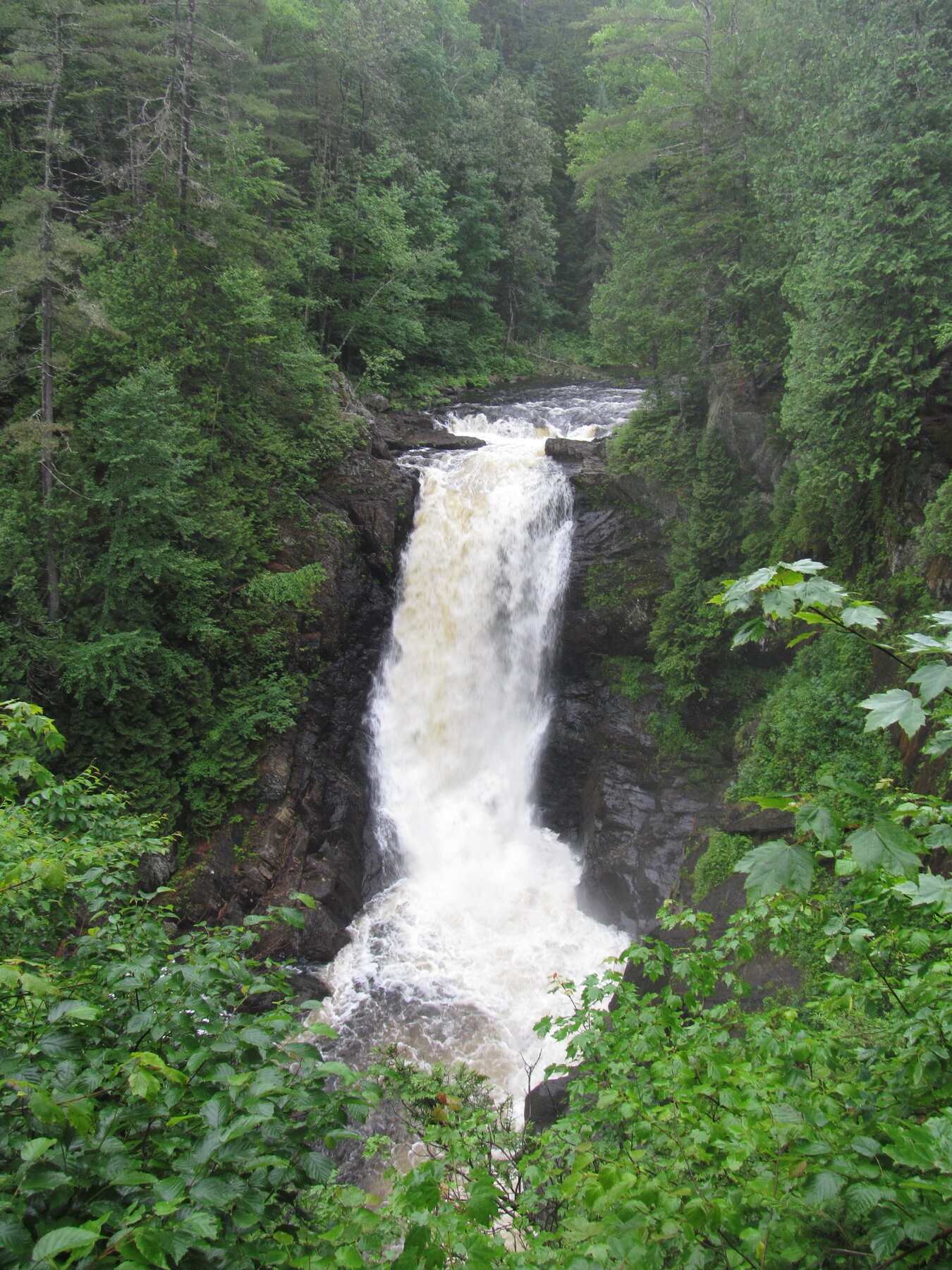
A roughly 90-foot single-drop waterfall near The Forks, among the tallest in New England.
Moxie Falls drops roughly 90 feet in a single vertical plunge into a pool near The Forks, a height that places it among the tallest waterfalls in New England. The falls are on Moxie Stream in Moxie Gore, Somerset County, on public land managed by Maine's Bureau of Parks and Lands, whose Southern Region office oversees the site and its trail.
The trailhead is on Moxie Pond Road off U.S. Route 201, about 2.3 miles from the turn at The Forks. The hike to the falls and its boardwalk viewing area runs about a mile each way, roughly 2 miles round trip, over easy terrain, and there is no entrance fee. The land manager's own trail notes flag it as a high-use trail, especially on weekends between 9 a.m. and 4 p.m., and advise visiting outside that window or choosing another trail if the small parking area is full. Water volume and the pools upstream of the falls run highest after snowmelt and heavy rain.
Know before you go
Moxie Gore, Somerset County, ME; trailhead on Moxie Pond Road off US-201, about 2.3 miles from The Forks.
Open year-round; flow is highest after snowmelt and heavy rain. Weekends get crowded midday.
About 1 mile each way to the falls and boardwalk overlook, roughly 2 miles round trip, easy terrain.
No entrance fee.
Not specified by the land manager; the route includes a boardwalk viewing area near the falls.
2026-10-12. Conditions and requirements can change; confirm with the land manager before travelling.
Sources & further reading
- Maine Bureau of Parks and Lands — Moxie Falls trail description (Maine Trail Finder) ↗
- USGS Geographic Names Information System (GNIS) ↗
This is a researched visitor guide, not a claim that our editors have personally visited. Trail conditions, permits, and access can change.