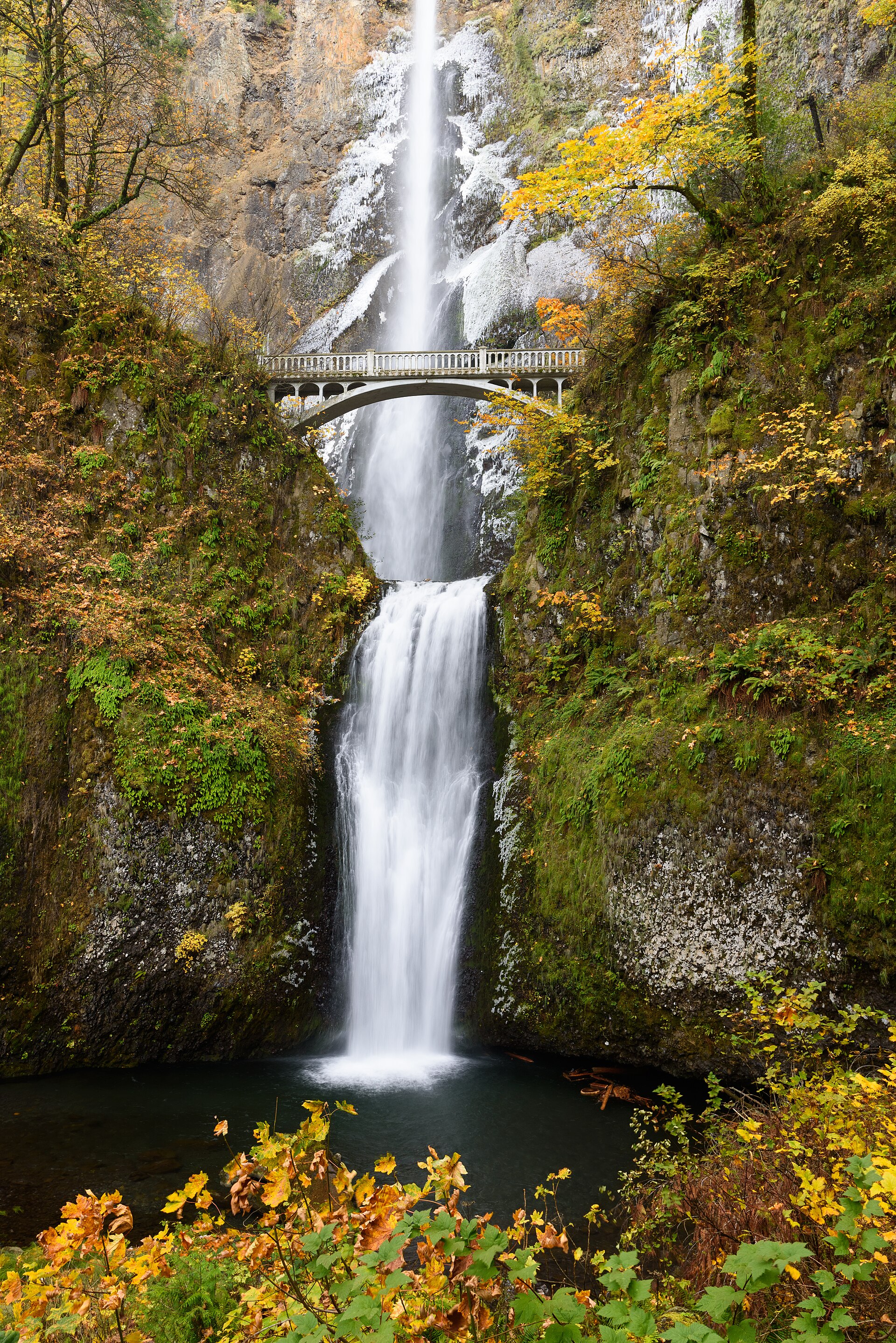
Two dramatic drops, a historic bridge and a basalt cliff in the Columbia River Gorge.
Multnomah Falls drops 620 feet against a cliff of layered volcanic rock. Underground springs help sustain its flow through the year, with the strongest water generally arriving in winter and spring. The lower viewing area provides the familiar composition of the upper waterfall and Benson Bridge without requiring the climb to the top.
The experience changes quickly beyond the plaza. A steep trail reaches the bridge, then continues up switchbacks toward a small upper viewpoint. The Forest Service describes the full out-and-back to the top as 2.4 miles with roughly 600 feet of elevation change. Treat that extension as a hike, with suitable footwear and water. Check seasonal timed-use requirements for the I-84 parking lot and current notices before departure; a reservation does not make crowded parking unlimited.
On 2026-10-11 the Forest Service page reported restroom renovation through November 2026. Check the official page for updates. Check the current notice ↗
Know before you go
Columbia River Gorge; check seasonal I-84 timed-use permits.
Year-round flow; typically strongest in winter and spring.
Lower plaza or a steep 2.4-mile round trip to the top.
Reservation or private-parking charges may apply.
Paved lower approach with inclines; upper trail is steep.
2026-10-11. Conditions and requirements can change; confirm with the land manager before travelling.
Sources & further reading
- US Forest Service — Multnomah Falls ↗
- Recreation.gov — Timed entry ↗
- USGS Geographic Names Information System (GNIS) ↗
This is a researched visitor guide, not a claim that our editors have personally visited. Trail conditions, permits, and access can change.