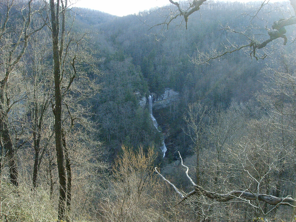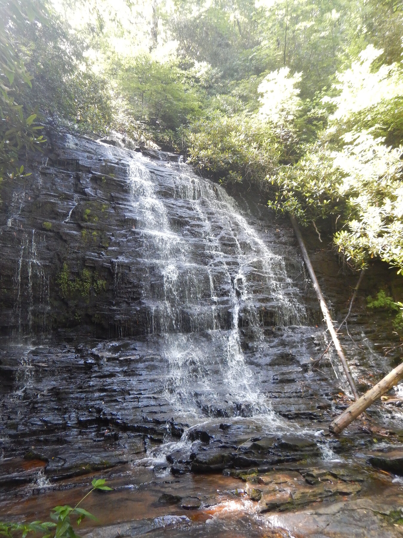
A 50-foot cascading waterfall on a short forest hike off Burrells Ford Road in Sumter National Forest.
Spoonauger Falls drops about 50 feet down a stepped rock face along a tributary near the Chattooga River, within the Sumter National Forest's Andrew Pickens Ranger District in Oconee County. The U.S. Forest Service lists the hike at roughly 0.45 miles one-way from the Chattooga River Trailhead on Burrells Ford Road: an easy quarter-mile approach, a short switchback, and then a brief moderate stretch down to the base of the falls. The path is lined with rhododendron, and the Forest Service notes there is no cell service at the trailhead.
The trailhead parking area sits on Burrells Ford Road (Forest Service Road 708). From Walhalla, the Forest Service directs visitors north about 9.5 miles on SC Highway 28, then about 10.4 miles on SC Highway 107, before turning onto Burrells Ford Road for roughly three miles to the lot. No fee is listed for this trailhead, but the broader Chattooga Wild and Scenic River corridor is currently subject to a Forest Service order restricting certain activities; check the forest's official alerts page before combining this hike with camping or paddling nearby.
As of 2026-10-11, Forest Service Order #08-12-00-25-07 (effective since April 2025) restricts certain activities within the Chattooga National Wild and Scenic River corridor, which this trail sits within. Check the forest's official alerts page for current restrictions before visiting. Check the current notice ↗
Know before you go
Chattooga River Trailhead on Burrells Ford Road (FS 708), Sumter National Forest, Andrew Pickens Ranger District, Oconee County.
Open year-round; check current U.S. Forest Service alerts for the Chattooga River corridor before visiting.
About 0.45 miles one-way from the trailhead (easy approach, short moderate switchback section to the falls base).
No fee listed for this trailhead; standard national forest rules apply.
Unpaved forest path with a moderate final stretch; not an accessible trail. No cell service at the trailhead.
2026-10-12. Conditions and requirements can change; confirm with the land manager before travelling.
Sources & further reading
- U.S. Forest Service — Francis Marion and Sumter National Forests: Spoonauger Falls ↗
- U.S. Forest Service — Francis Marion and Sumter National Forests: Alerts & Notices ↗
- USGS Geographic Names Information System (GNIS) ↗
This is a researched visitor guide, not a claim that our editors have personally visited. Trail conditions, permits, and access can change.