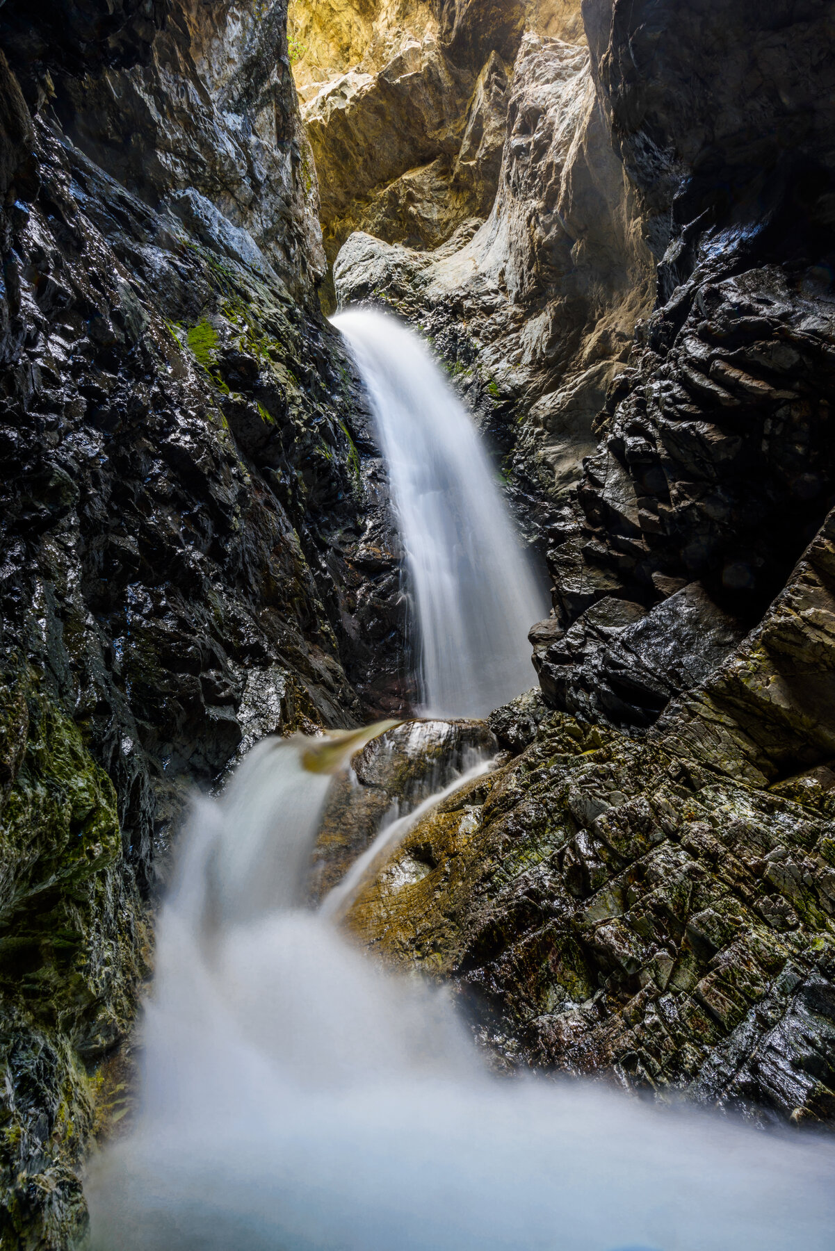
A waterfall tucked in a narrow rock slot, reached by a short, mildly steep hike that fords a stream near Great Sand Dunes National Park.
Zapata Falls drops through a narrow slot in the rock on land managed by the Bureau of Land Management's San Luis Valley Field Office, in the Sangre de Cristo Mountains south of Great Sand Dunes National Park. BLM materials describe the drop as around 25 to 30 feet. The half-mile round-trip hike from the parking area is mildly steep, and reaching the base of the falls requires fording the stream and climbing over rocks, so sturdy footwear and caution are worth planning for.
Access is via Colorado State Highway 150 from Highway 160 near Alamosa, then an unpaved BLM road to the trailhead. BLM notes the falls make a cooling summer stop, while in winter the creek freezes into a large ice column that draws experienced ice climbers — conditions that call for very different gear and skill depending on the season. Check with the BLM San Luis Valley Field Office for current road and trail conditions before visiting, particularly after snow or heavy rain.
Know before you go
Off CO Hwy 150 via an unpaved BLM road, south of Great Sand Dunes National Park; BLM San Luis Valley Field Office.
Open year-round; stream-crossing and ice conditions vary by season - check current conditions.
0.5-mile round trip, mildly steep, with a stream ford and rock scramble to reach the falls.
Check current BLM fee/pass requirements for the recreation area and campground.
Rocky, stream-crossing approach; not an accessible route.
2026-10-12. Conditions and requirements can change; confirm with the land manager before travelling.
Sources & further reading
- BLM — Zapata Falls Special Recreation Management Area ↗
- USGS Geographic Names Information System (GNIS) ↗
This is a researched visitor guide, not a claim that our editors have personally visited. Trail conditions, permits, and access can change.