
 Visitor guide
New Mexico · Sandoval
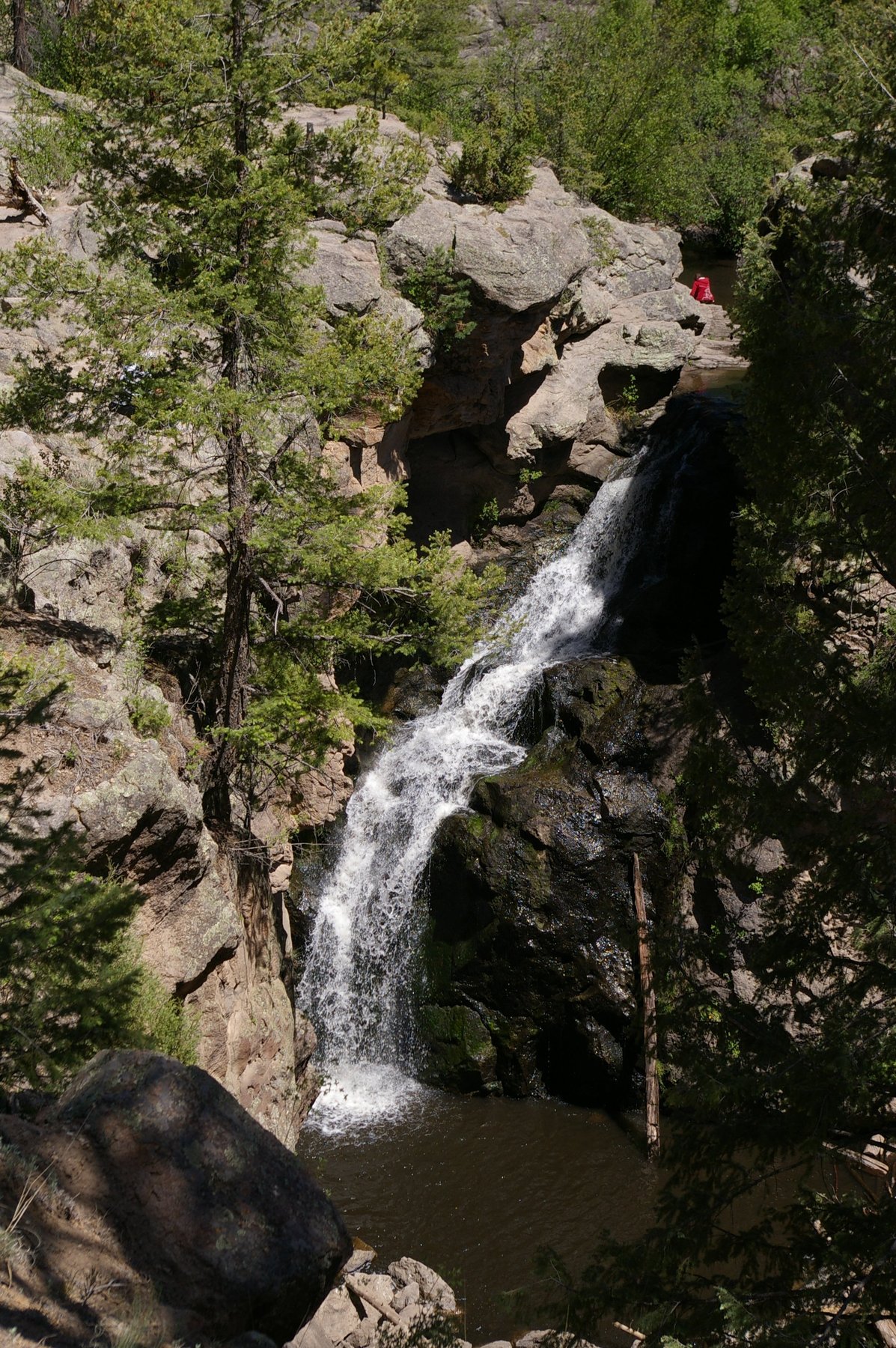
Jemez Falls
The highest waterfall in the Jemez Mountains at about 70 feet, a short walk from a Santa Fe National Forest trailhead.
13 mapped waterfall locations in our current New Mexico index. Browse by name, switch to the map, or open a listing for coordinates and source information.
Search by waterfall, state, or county. Start with a visitor guide, or explore every mapped location.
Visitor guideThe highest waterfall in the Jemez Mountains at about 70 feet, a short walk from a Santa Fe National Forest trailhead.
 Visitor guide
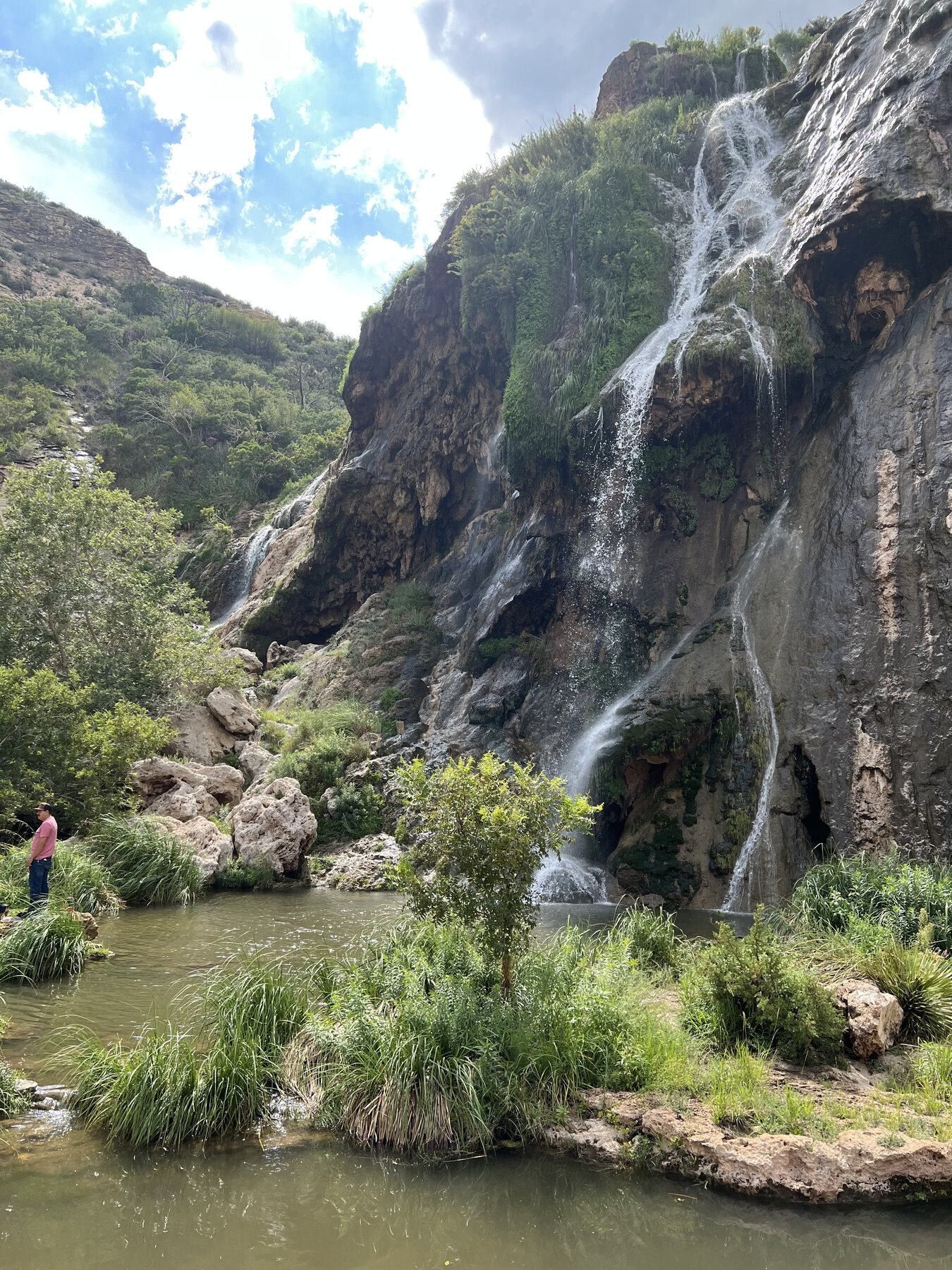
A spring-fed desert oasis waterfall dropping about 150 feet into a pool in Lincoln National Forest's Guadalupe Ranger District.
 Visitor guide
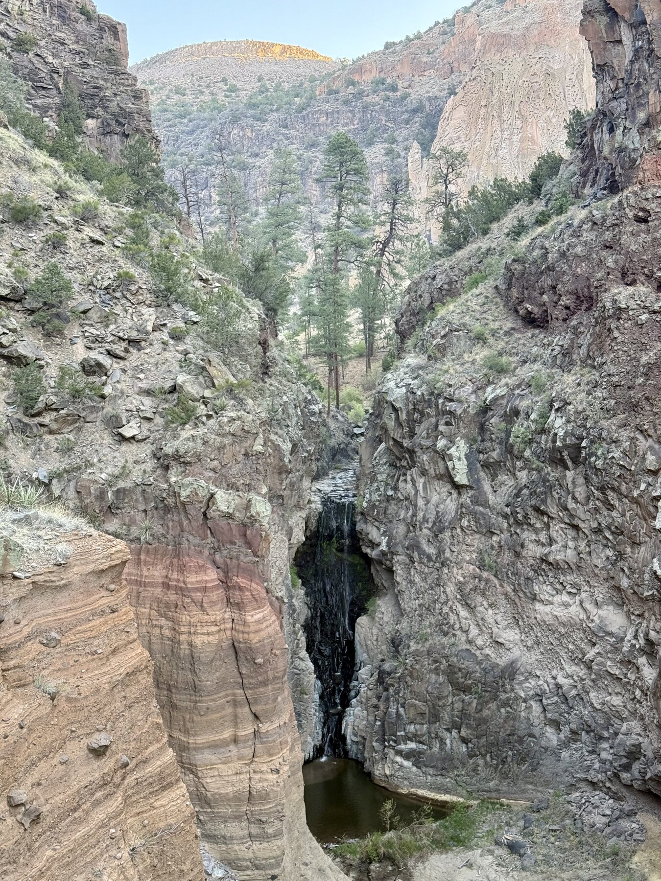
A waterfall on Frijoles Creek reached by a steep 1.5-mile canyon trail in Bandelier National Monument.
A named waterfall feature in the McKinley area of New Mexico. Explore its recorded location and geographic notes.
A named waterfall feature in the Sandoval area of New Mexico. Explore its recorded location and geographic notes.
A named waterfall feature in the Union area of New Mexico. Explore its recorded location and geographic notes.
A named waterfall feature in the Socorro area of New Mexico. Explore its recorded location and geographic notes.
A named waterfall feature in the Sandoval area of New Mexico. Explore its recorded location and geographic notes.
A named waterfall feature in the Santa Fe area of New Mexico. Explore its recorded location and geographic notes.
A named waterfall feature in the Mora area of New Mexico. Explore its recorded location and geographic notes.
A named waterfall feature in the Rio Arriba area of New Mexico. Explore its recorded location and geographic notes.
A named waterfall feature in the Rio Arriba area of New Mexico. Explore its recorded location and geographic notes.
A named waterfall feature in the Cibola area of New Mexico. Explore its recorded location and geographic notes.
Turquoise pins are location records; gold pins have visitor guides. Pins identify source feature locations, not confirmed parking or public access. Open a listing for its Google Maps link.