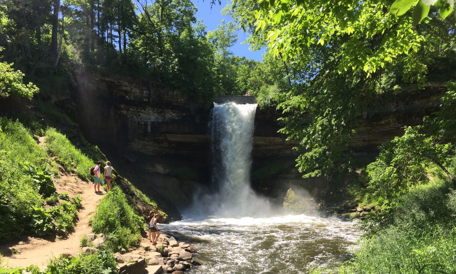
A Minneapolis waterfall set within a historic city park and a wooded creek corridor.
Minnehaha Falls is a 53-foot waterfall inside one of Minneapolis’s best-known parks. The appeal is the combination of a dramatic drop and a city setting: a waterfall stop can be part of a day exploring gardens, historic features and the wider park landscape. Minnehaha takes its name from Dakota words associated with water and waterfall.
The park’s history is unusually rich. The land around the falls was acquired in 1889 with the city providing the purchase money, and Minneapolis has managed the park from the beginning. Use the park board’s current map to distinguish the upper park from routes into the lower glen. Choose a walking route for your group rather than assuming every creek-side path has the same surface or gradient. Check current closures and seasonal conditions, and respect fences around the falls and gorge.
Know before you go
Minnehaha Regional Park, Minneapolis.
Check seasonal park and trail conditions.
Upper park paths and separate lower-glen routes.
Check current parking information.
Confirm an appropriate route using the park map and staff guidance.
2026-10-11. Conditions and requirements can change; confirm with the land manager before travelling.
Sources & further reading
- Minneapolis Park & Recreation Board — Minnehaha Regional Park ↗
- NPS — Minnehaha Falls Regional Park ↗
- USGS Geographic Names Information System (GNIS) ↗
This is a researched visitor guide, not a claim that our editors have personally visited. Trail conditions, permits, and access can change.