The only waterfall on the entire Mississippi River, now a heavily engineered site that founded Minneapolis's milling industry.
Saint Anthony Falls is the only waterfall on the whole Mississippi River, and it's the reason Minneapolis exists where it does. The Dakota called the site mnirara, or curling waters; Father Louis Hennepin gave it its current name after becoming the first European to document it, in 1680. Through the 1800s the falls powered the lumber and flour mills that built the city's economy, but decades of heavy use and poor engineering badly damaged the limestone ledge, and the U.S. Army Corps of Engineers carried out major stabilization work in 1937 to keep it from collapsing.
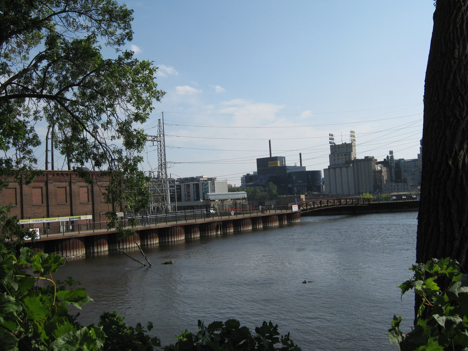
What visitors see today is an engineered river landscape rather than a wild waterfall: concrete aprons and the Upper and Lower St. Anthony Falls locks and dams now control the water here. The National Park Service, which includes the falls within the Mississippi National River and Recreation Area, points to the Stone Arch Bridge and Water Power Park as the best viewpoints, both reached along the self-guided, two-mile St. Anthony Falls Heritage Trail. There is no NPS entrance fee, though individual partner sites and some parking nearby may charge.
Know before you go
Mississippi National River and Recreation Area, downtown Minneapolis; best viewed from the Stone Arch Bridge or Water Power Park.
Year-round; the river here is dam-controlled rather than seasonal in the usual sense.
St. Anthony Falls Heritage Trail, a self-guided two-mile loop connecting both riverbanks.
No NPS entrance fee; some partner sites and parking within the historic district may charge.
Stone Arch Bridge is a paved pedestrian bridge; check individual overlooks for accessible routes.
2026-10-12. Conditions and requirements can change; confirm with the land manager before travelling.
Sources & further reading
- National Park Service — Mississippi NRRA: St. Anthony Falls ↗
- National Park Service — Mississippi NRRA: Fees ↗
- USGS Geographic Names Information System (GNIS) ↗
This is a researched visitor guide, not a claim that our editors have personally visited. Trail conditions, permits, and access can change.