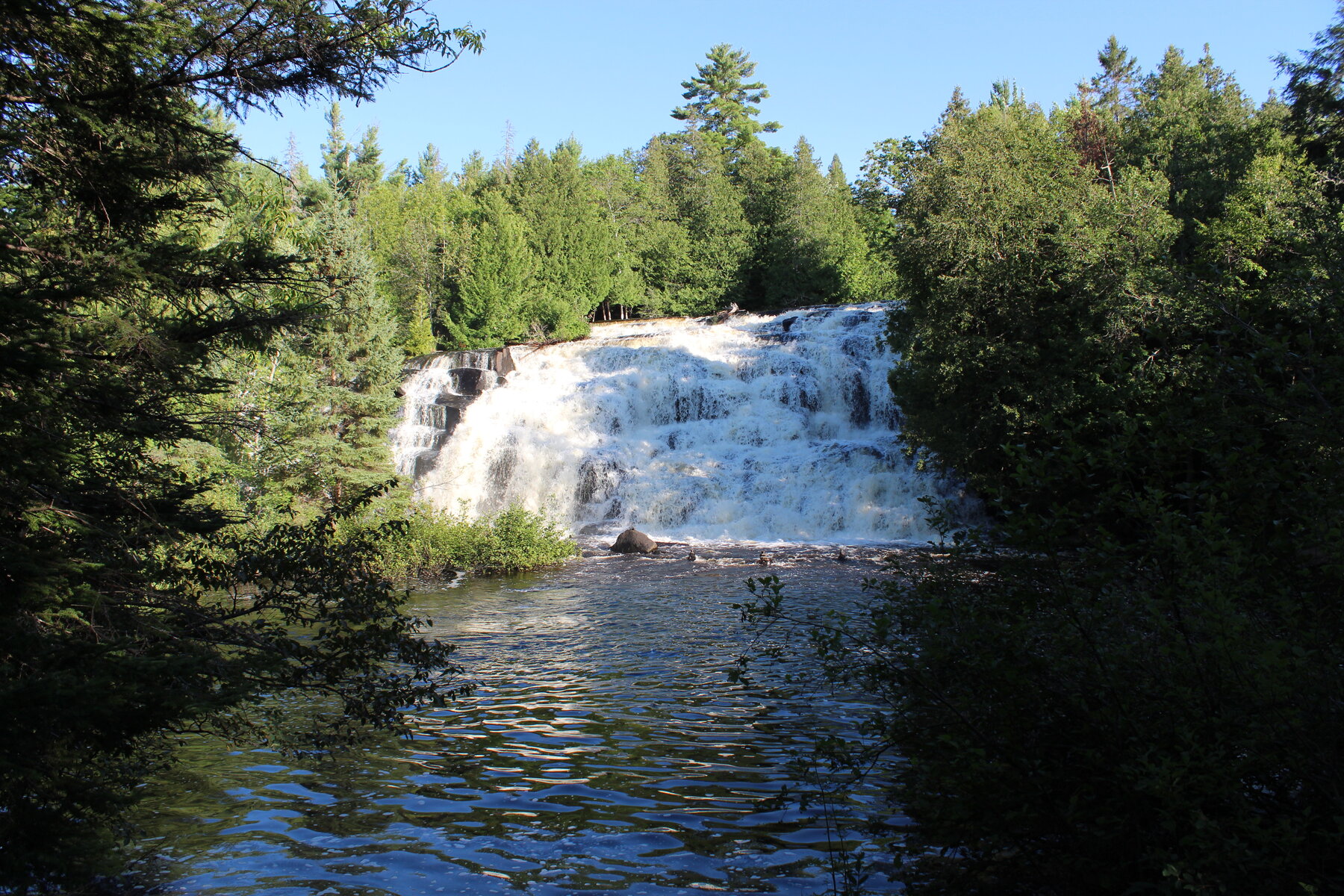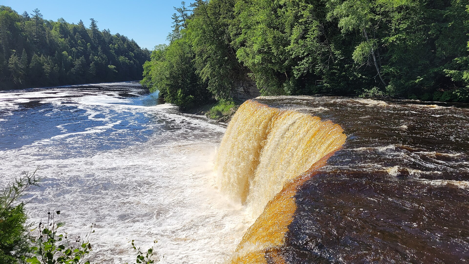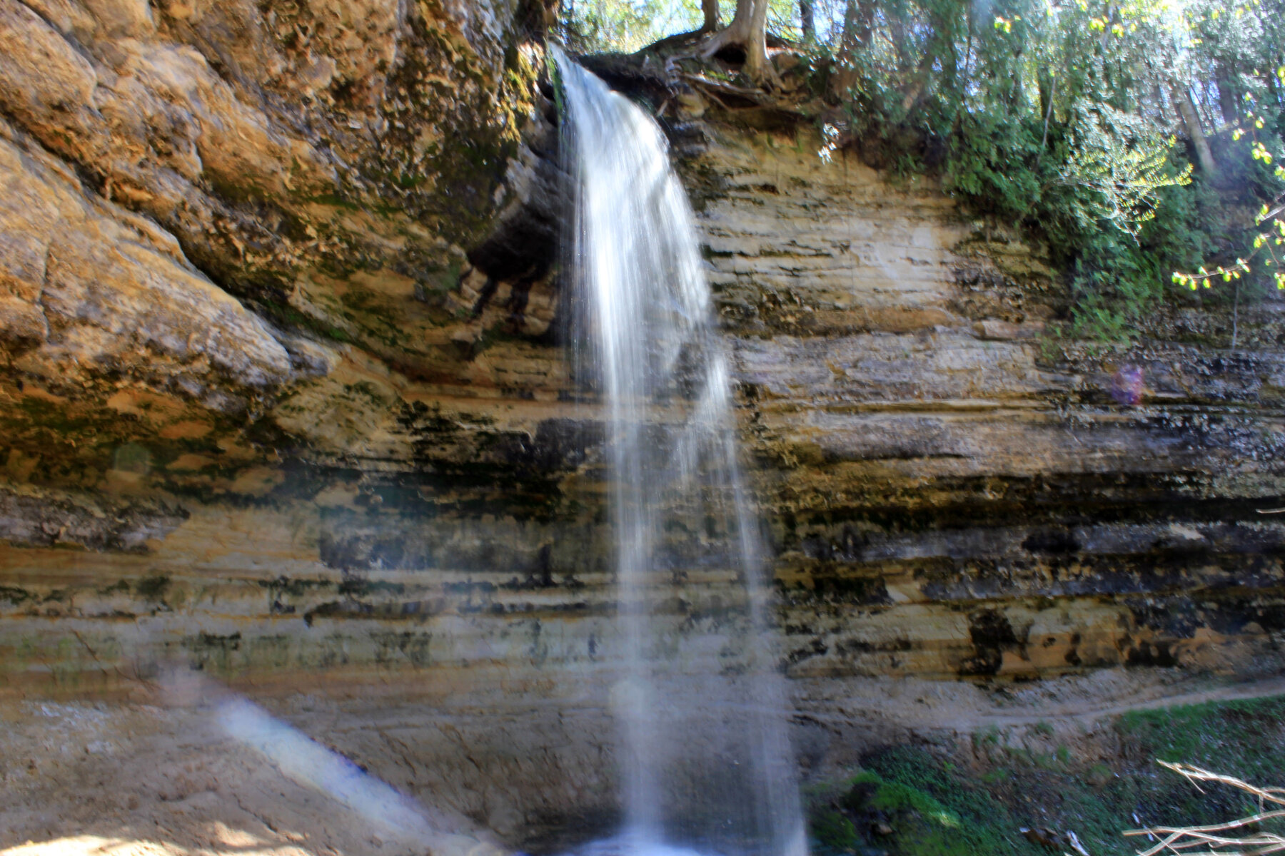
A 50-foot waterfall at the western edge of Pictured Rocks National Lakeshore, reached by a short paved trail within Munising city limits.
Munising Falls drops 50 feet over a sandstone cliff at the western end of Pictured Rocks National Lakeshore, within the city limits of Munising where Washington Street becomes Sand Point Road. The National Park Service describes it as the easiest of the lakeshore's waterfalls to reach year-round, since the access road and parking lot are plowed through winter; the frozen falls are a notable cold-season sight. A paved 800-foot trail follows a shaded canyon along Munising Creek to the base, with two sets of stairs leading to viewing platforms.
As of our check, the National Park Service lists the Munising Falls Trail as temporarily closed due to storm damage sustained in April 2025, so confirm current status before planning a stop. Leashed pets are allowed on the trail and at the viewing platforms, but walking into or behind the falls is prohibited. Pictured Rocks charges a standard lakeshore entrance pass ($25 per vehicle for seven days at the time of our check, cash not accepted), sold at the adjacent Munising Falls Visitor Center.
As of this check, the NPS Pictured Rocks waterfalls page reports the Munising Falls Trail temporarily closed due to storm damage sustained in April 2025. Check the official page for reopening status before visiting. Check the current notice ↗
Know before you go
Munising Falls Visitor Center, Sand Point Road, Munising, within Pictured Rocks National Lakeshore.
Road and parking plowed year-round; falls noted for dramatic winter ice.
Paved 800-foot trail to the base with stairs to viewing platforms; trail reported closed for storm damage since April 2025 as of our check.
Pictured Rocks entrance pass required: $25/vehicle for 7 days at time of check; credit/debit only.
Paved trail surface per NPS description; verify current accessible-route status given the reported closure.
2026-10-11. Conditions and requirements can change; confirm with the land manager before travelling.
Sources & further reading
- NPS — Pictured Rocks, Waterfalls ↗
- NPS — Pictured Rocks Entrance Fees ↗
- USGS Geographic Names Information System (GNIS) ↗
This is a researched visitor guide, not a claim that our editors have personally visited. Trail conditions, permits, and access can change.