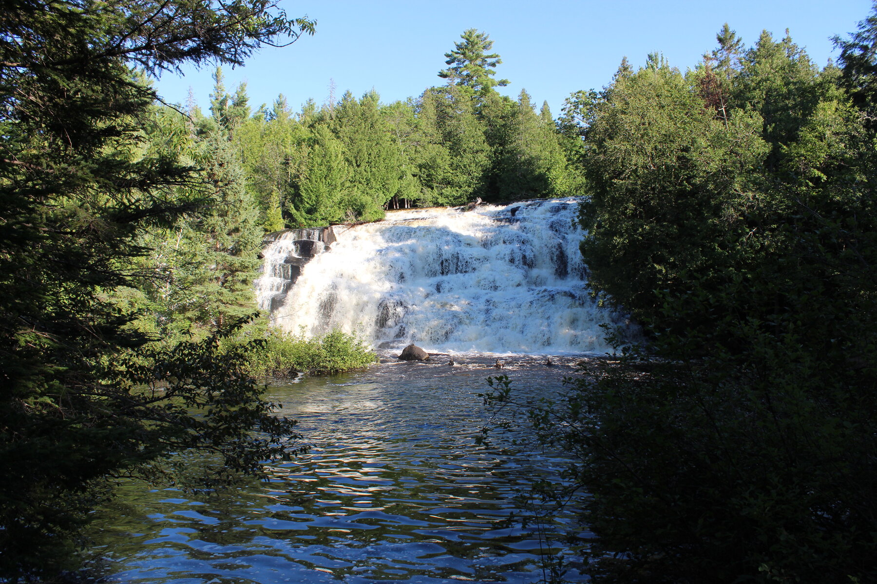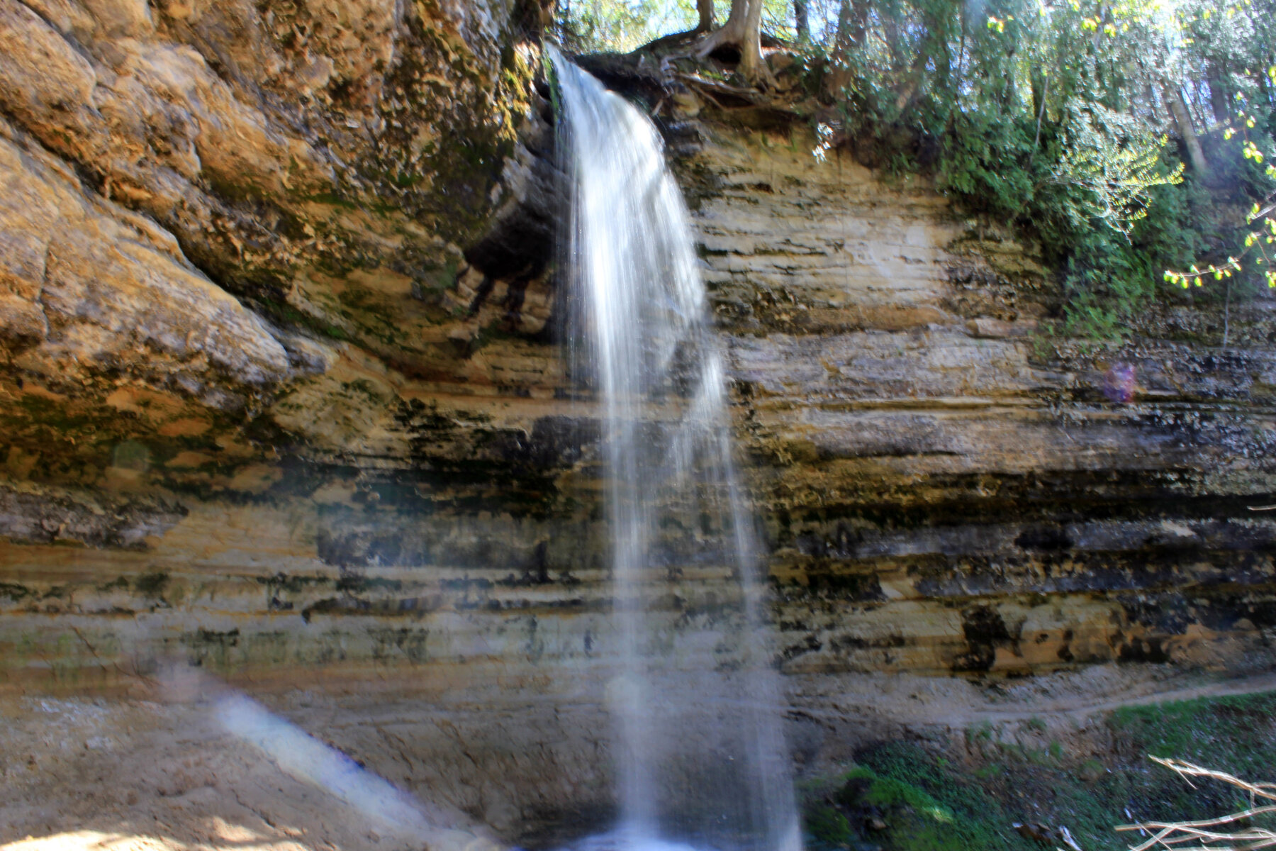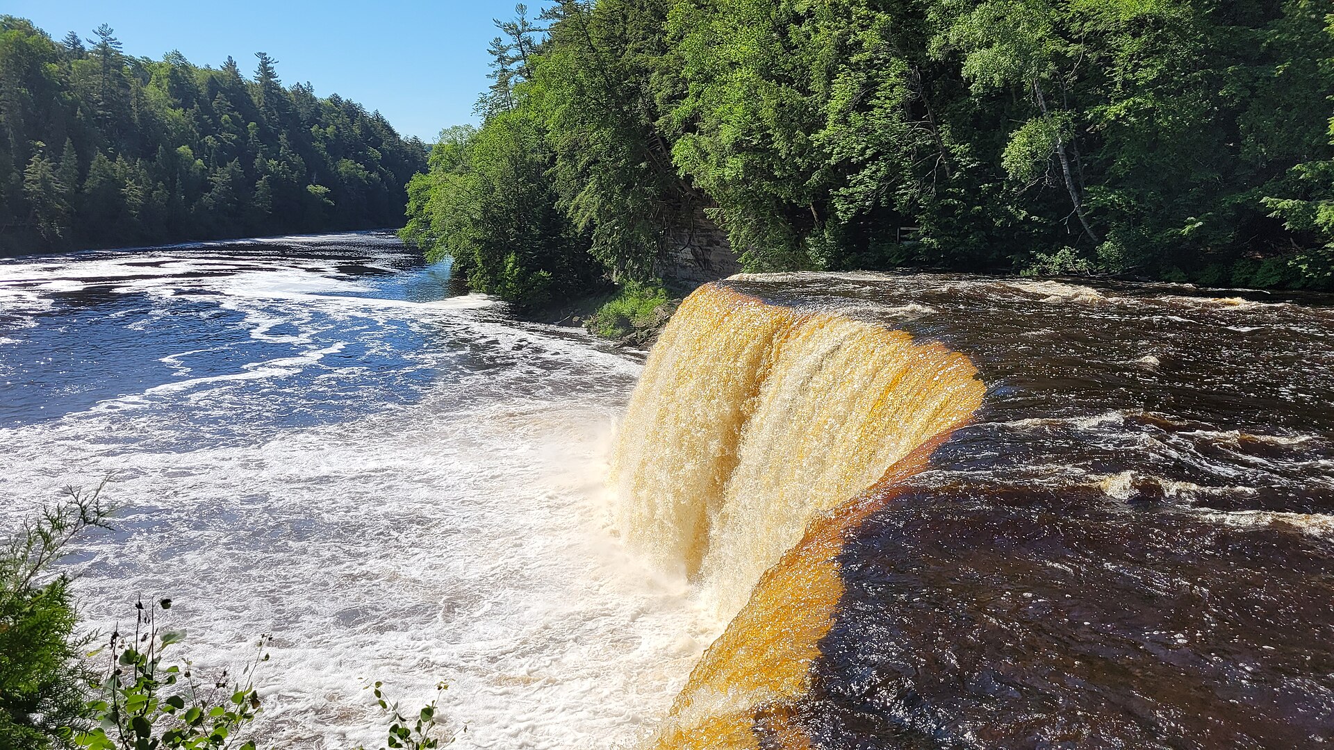
Explore the broad Upper Falls and the separate Lower Falls in Michigan’s Upper Peninsula.
Tahquamenon is best approached as two waterfall areas. The Upper Falls measure roughly 200 feet across and 50 feet high, creating a broad river-wide curtain. The Lower Falls provide a different experience farther east along M-123, with walkways and an island area rather than one large drop. Plan enough time to visit both instead of assuming they share a parking lot.
At the Upper Falls, a quarter-mile paved path leads toward the viewing areas, and a boardwalk reaches the brink platform. The separate route down to the gorge involves 181 steps. At the Lower Falls, paved walking access, a boardwalk and an accessible island bridge expand the options. Michigan requires a Recreation Passport for entry. Review current maps and seasonal conditions before setting out, particularly for winter travel or any route that adds a longer walk.
Know before you go
Upper and Lower Falls have separate areas along M-123.
Seasonal trail conditions; consult winter maps when relevant.
Paved approaches and boardwalks; gorge route adds 181 steps.
Michigan Recreation Passport required.
Accessible options include Lower Falls island bridge; routes differ.
2026-10-11. Conditions and requirements can change; confirm with the land manager before travelling.
Sources & further reading
- Michigan DNR — Tahquamenon Falls visitor information ↗
- USGS Geographic Names Information System (GNIS) ↗
This is a researched visitor guide, not a claim that our editors have personally visited. Trail conditions, permits, and access can change.