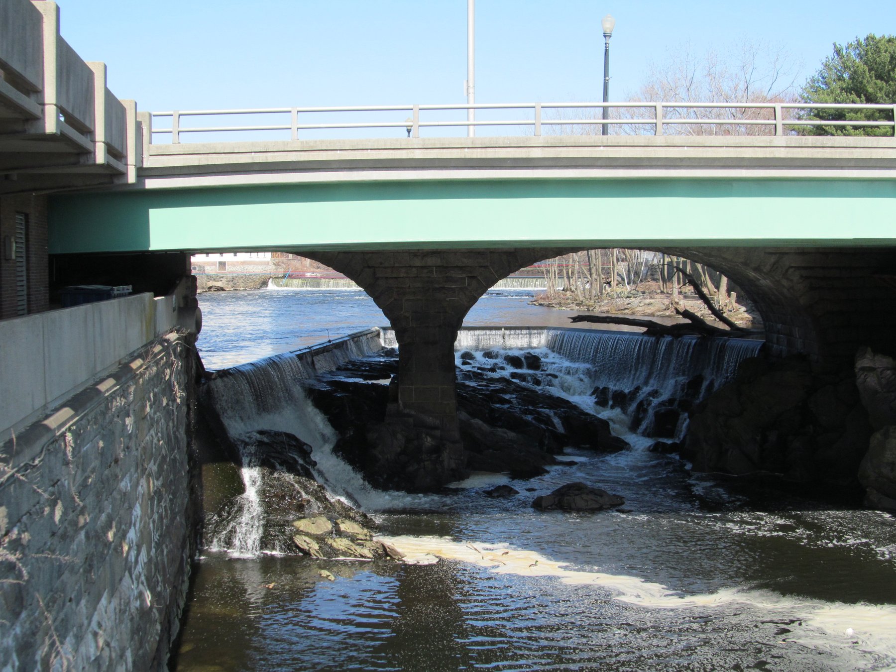
A series of ledge cascades on the Falls River inside Rhode Island's largest management area.
Stepstone Falls, labeled Stepping Stone Falls on Rhode Island's own park materials, is a run of low cascades where a forest stream slides over flat bedrock ledges inside Arcadia Management Area, the state's largest management area at more than 14,000 acres of forest, ponds and trails spanning Richmond, Exeter, Hopkinton and West Greenwich. Rhode Island DEM's Division of Agriculture and Forest Environment manages the property, acquired in part with federal Pittman-Robertson wildlife-restoration funds.
The management area is accessed off Routes 138 and 165, with a main parking area for Browning Mill Pond reached via Ten Rod Road/Route 165; Stepstone Falls itself lies farther in, reached by trail, and the official park page does not post a single mileage figure for that approach, so confirm current trailhead and distance locally before heading out. There is no posted day-use fee. Because Arcadia is open to hunting, the state requires hikers, cyclists and equestrians alike to wear 200 square inches of solid fluorescent orange during set hunting-season windows each fall and spring, so check current dates before visiting then.
Know before you go
Arcadia Management Area, RI; accessed off Routes 138 and 165, with a main lot at Browning Mill Pond via Ten Rod Road/Route 165.
Open year-round; fluorescent orange is required during set hunting-season windows each fall and spring. Confirm current trail routing locally.
Reached by trail deeper into the management area; official materials don't post a single mileage figure for this route.
No posted day-use fee.
Not specified for this trail; a separate Upper Roaring Brook accessible trail exists elsewhere in the management area.
2026-10-12. Conditions and requirements can change; confirm with the land manager before travelling.
Sources & further reading
- Rhode Island State Parks — Arcadia Management Area ↗
- USGS Geographic Names Information System (GNIS) ↗
This is a researched visitor guide, not a claim that our editors have personally visited. Trail conditions, permits, and access can change.