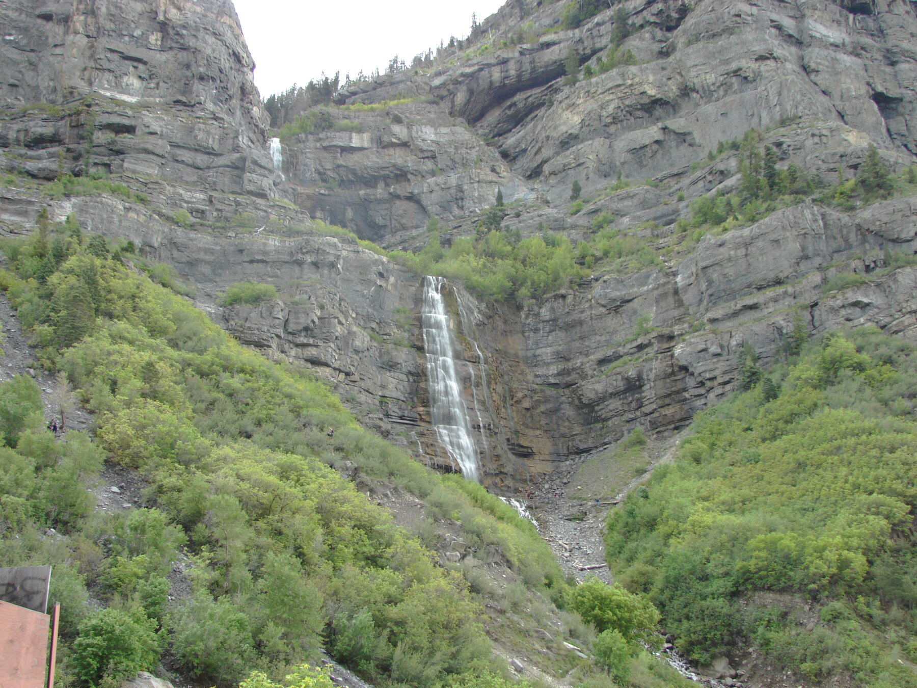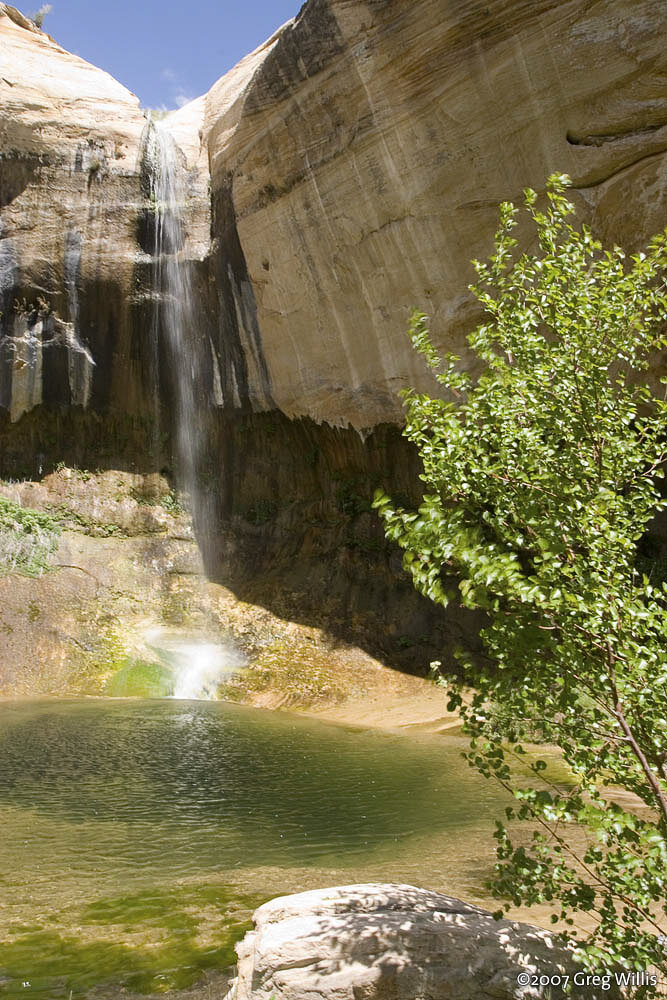
A remote, rugged upstream companion to the popular Lower Calf Creek Falls, inside Grand Staircase-Escalante National Monument.
Upper Calf Creek Falls is the lesser-known companion to Lower Calf Creek Falls, dropping into the same drainage upstream within Grand Staircase-Escalante National Monument in Garfield County. Both waterfalls share the Calf Creek Recreation Area as their general access point off Utah's Scenic Byway 12, but they are reached by separate trails, and BLM treats them as distinct destinations rather than one hike with two viewpoints. The upper-falls route is widely regarded as a rougher, less-maintained scramble than the well-trodden lower-falls trail, and visitors should not assume the two hikes are comparable in difficulty, length, or crowd level.
BLM's monument-wide safety guidance highlights flash flooding, extreme summer heat, and water-quality concerns in the Calf Creek drainage, and the agency posts creek water-quality updates through the Utah Department of Environmental Quality rather than fixed seasonal rules. Day-use fees have historically applied at Calf Creek trailheads; confirm current rates, parking capacity, and road status with BLM or the Escalante Interagency Visitor Center before heading out. Because trail distance and the falls' drop height are reported inconsistently across secondary sources, treat specific mileage and height figures as unconfirmed until checked against current BLM information, and plan for an exposed, unmaintained route with real flash-flood risk in narrow sections.
Know before you go
Calf Creek Recreation Area, off Scenic Byway 12, within Grand Staircase-Escalante National Monument; verify current trailhead access with BLM.
Check current BLM travel and safety notices; flash flood and extreme heat hazards are common in this canyon.
A rugged, less-traveled scramble to the upper falls, distinct from and reportedly more strenuous than the popular Lower Calf Creek Falls trail; confirm current mileage and conditions with BLM before hiking.
Day-use fees have applied at Calf Creek trailheads in the past; check current rates with BLM.
Not an accessible route; expect scrambling over uneven, exposed terrain. Verify current conditions before attempting.
2026-10-12. Conditions and requirements can change; confirm with the land manager before travelling.
Sources & further reading
- BLM — Grand Staircase-Escalante National Monument: Safety and Conditions ↗
- BLM — Grand Staircase-Escalante National Monument: Current Travel Information ↗
- USGS Geographic Names Information System (GNIS) ↗
This is a researched visitor guide, not a claim that our editors have personally visited. Trail conditions, permits, and access can change.