
 Visitor guide
Alabama · DeKalb
Little River Falls
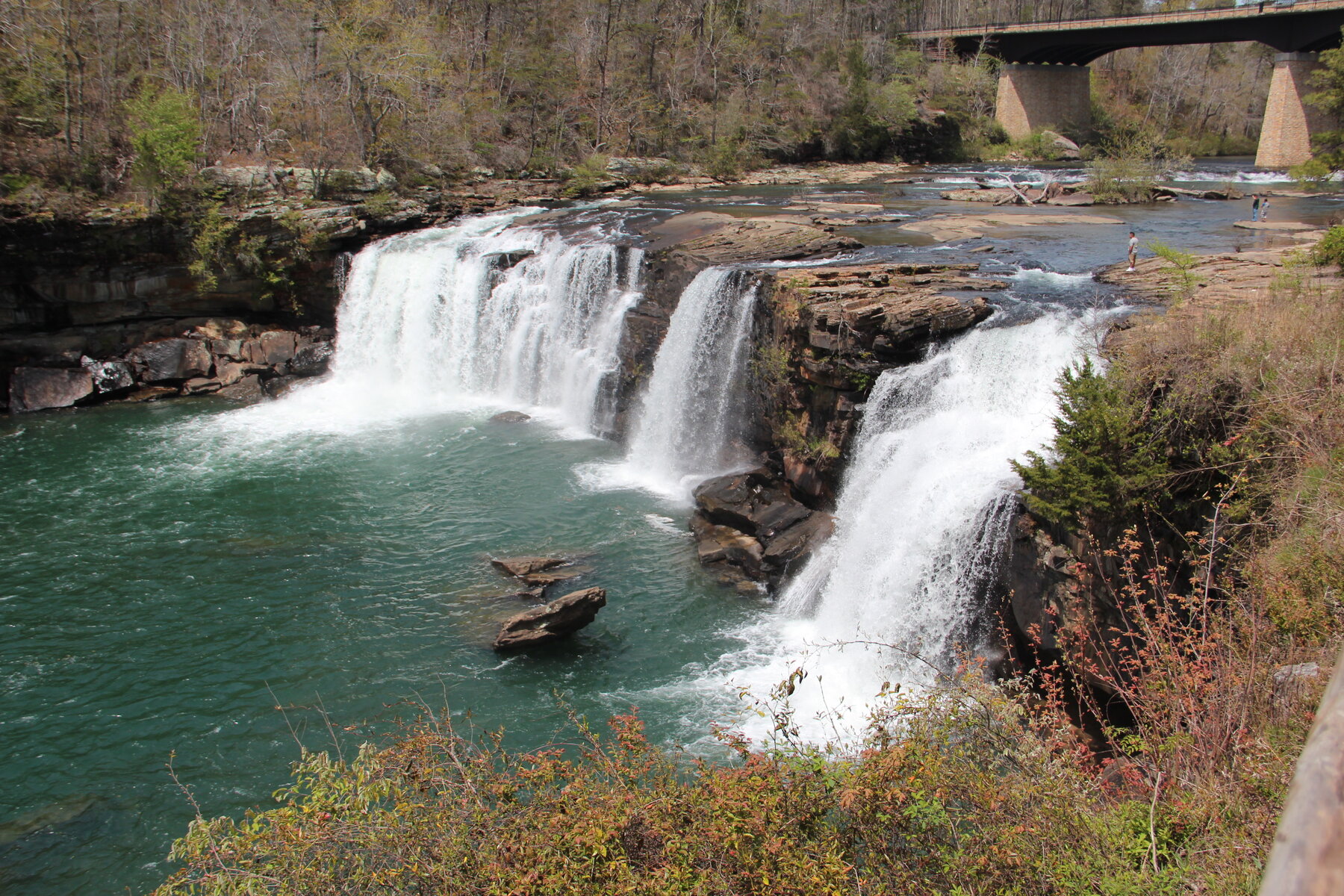
A 45-foot waterfall marking the head of Little River Canyon, viewed from a boardwalk beside the Alabama Highway 35 bridge.
From forest trails to soaring canyons, discover the waterfalls that make the journey unforgettable.
Explore waterfallsA misty woodland walk. A canyon carved by time. A view you'll carry home. Find your kind of extraordinary.
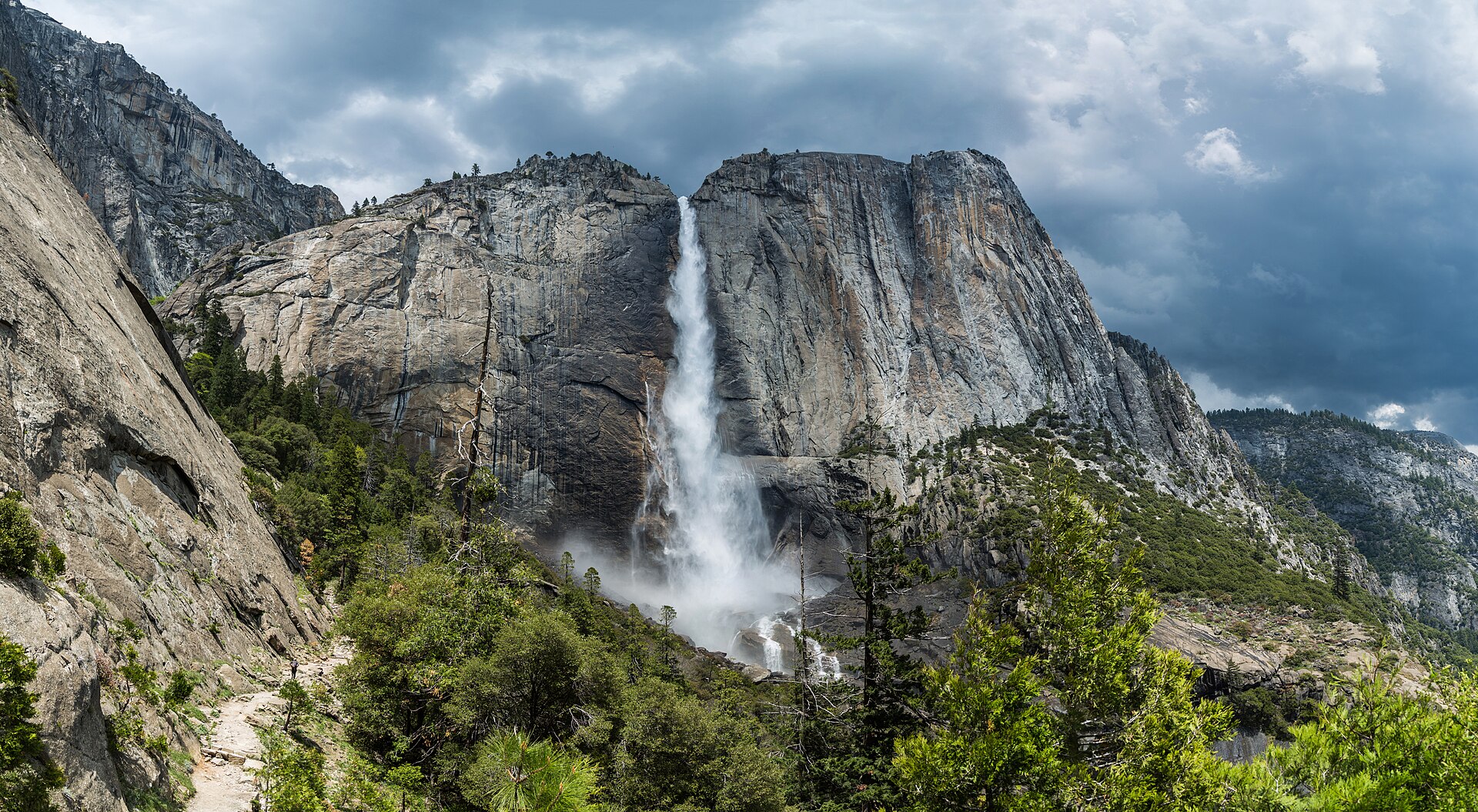 Yosemite Falls, California · Photo credit
Get the story, understand the approach, and check the details that matter. Our visitor guides connect you with the people who manage each place.
Browse visitor guides →Search by waterfall, state, or county. Start with a visitor guide, or explore every mapped location.
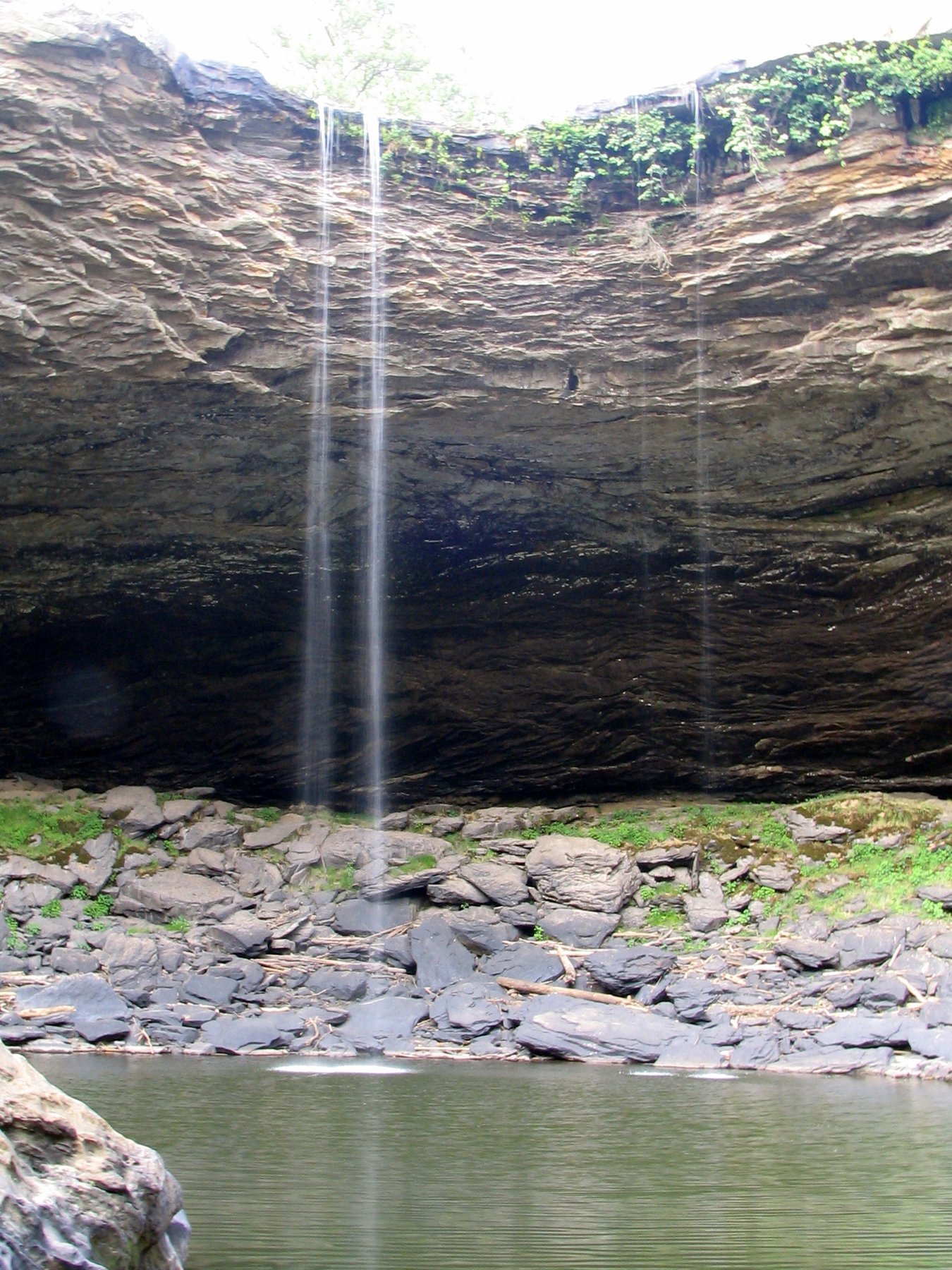
Visitor guideA 45-foot waterfall marking the head of Little River Canyon, viewed from a boardwalk beside the Alabama Highway 35 bridge.
 Visitor guide
A 90-foot waterfall on Black Creek, the centerpiece of a 500-acre family park in the Appalachian foothills.
A roughly 65-foot, rainfall-dependent waterfall reached via steep trails in Oak Mountain State Park.
A waterfall on the Eklutna River in Chugach State Park, reached by a short trail off the Old Glenn Highway near Anchorage.
 Visitor guide
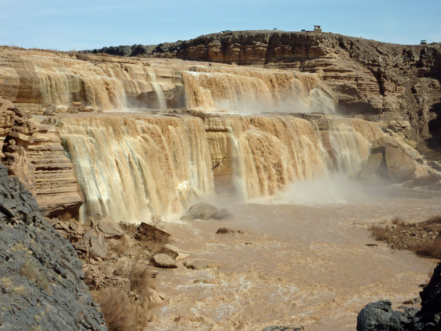
A roughly 185-foot, sediment-choked waterfall on the Little Colorado River on the Navajo Nation, currently closed to the public.
 Visitor guide
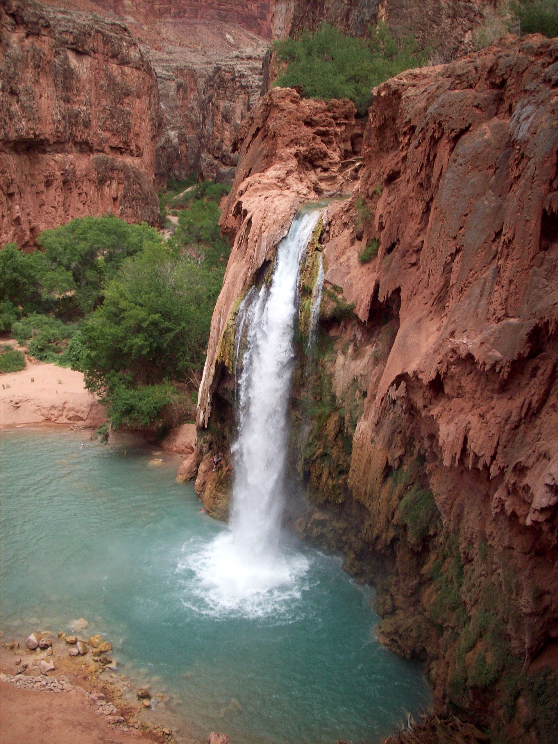
A blue-green waterfall in Havasupai lands, reached only with authorized reservations and substantial preparation.
 Visitor guide
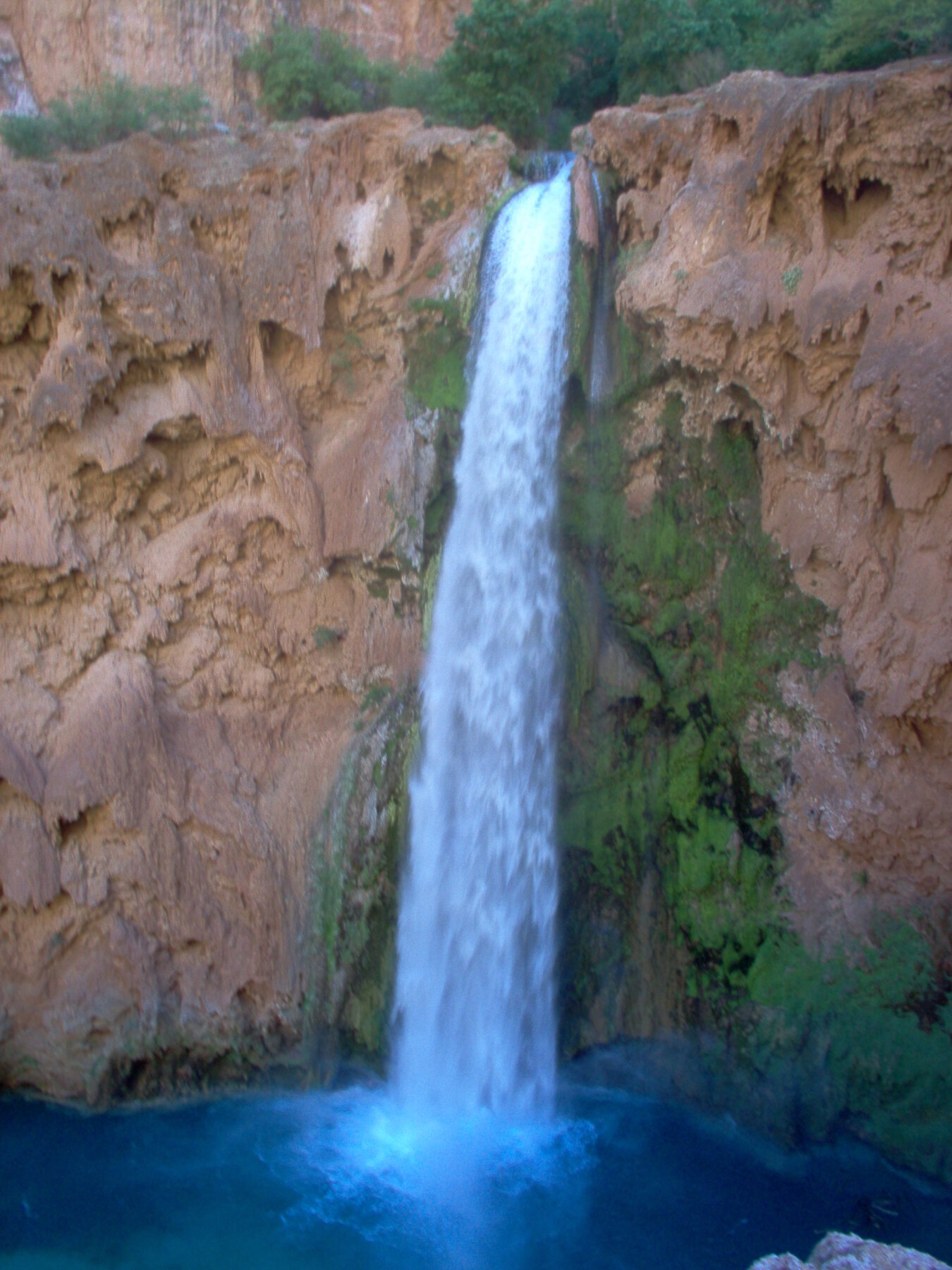
A waterfall on Havasu Creek downstream of Havasu Falls, reached only through the Havasupai Tribe's permit system via a hazardous chain-and-ladder descent.
 Visitor guide
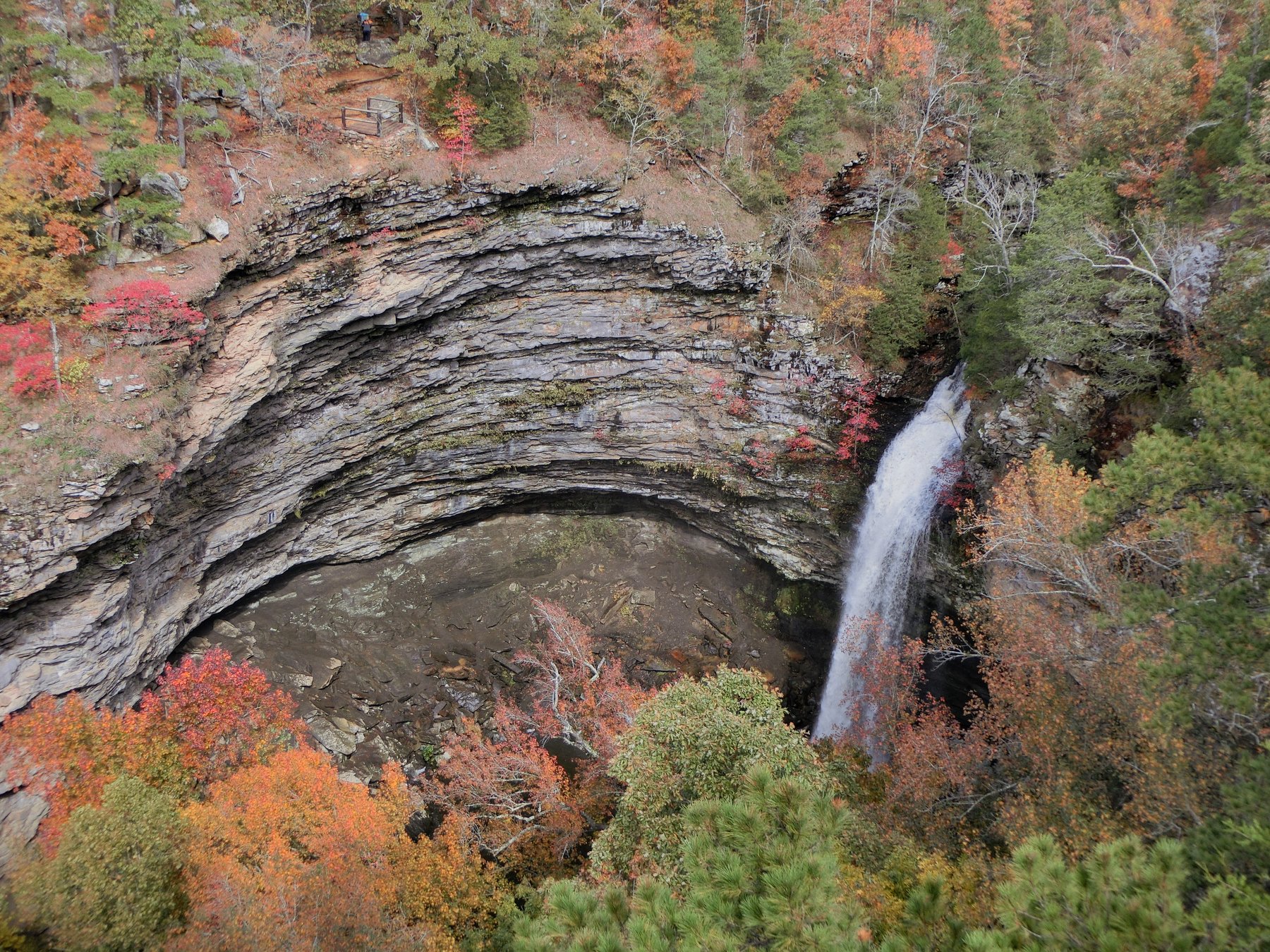
A 95-foot waterfall at the bottom of Petit Jean State Park's Cedar Creek Canyon, reached by a well-known 2-mile round trip.
 Visitor guide
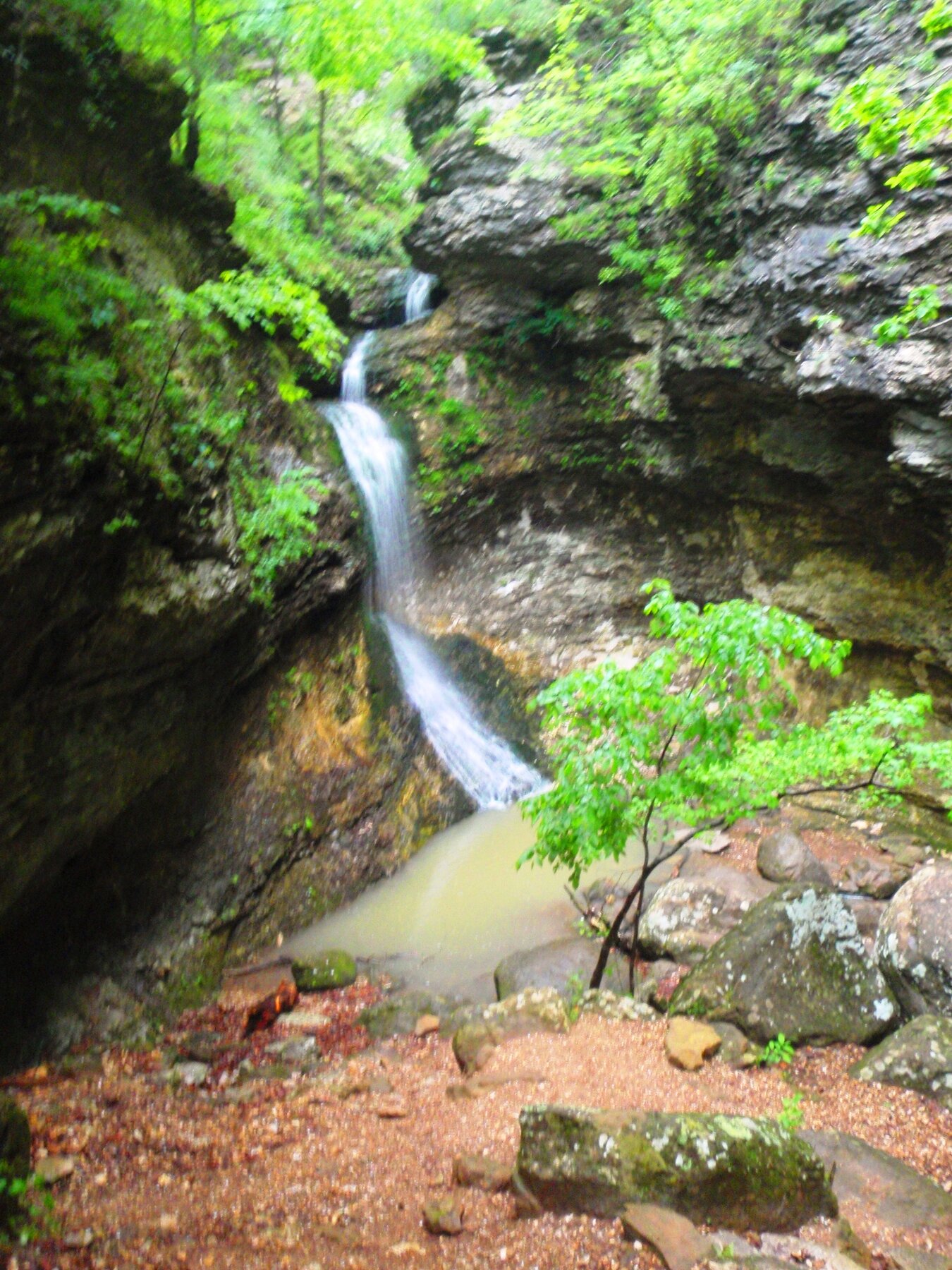
A waterfall along the Lost Valley Trail in Buffalo National River, near Eden Falls Cave.
A multi-tiered cascade on Falling Water Creek in the Ozark National Forest, near the gravel road into the Richland Creek Wilderness.
 Visitor guide
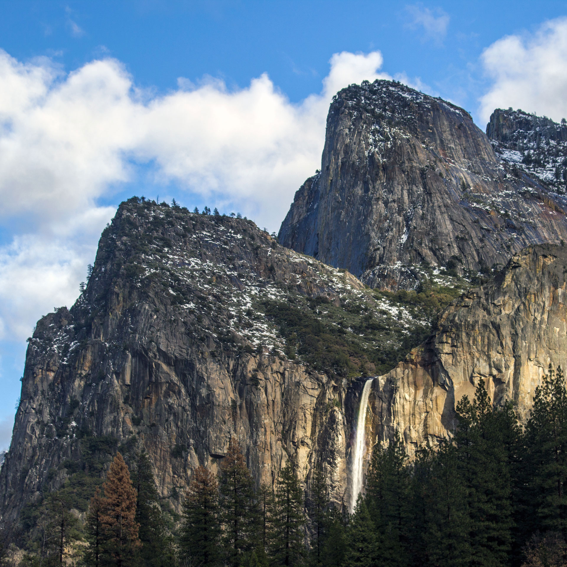
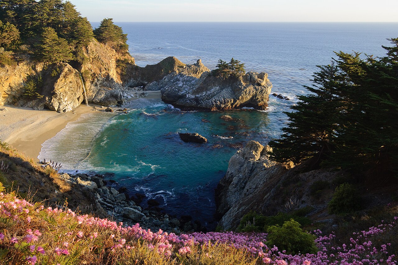
A windswept year-round waterfall near the western entrance to Yosemite Valley.
 Visitor guide
 Visitor guide
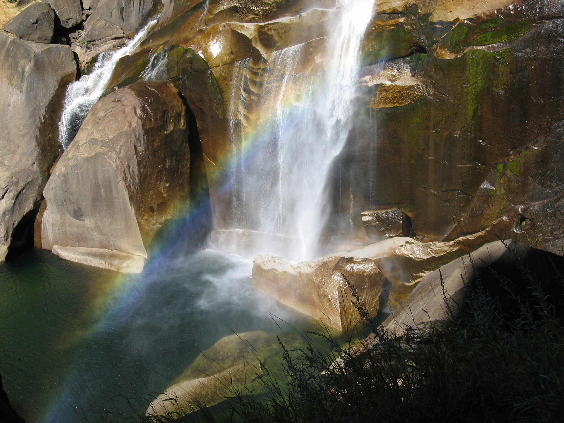
A 317-foot drop on the Merced River in Yosemite Valley, reached by footbridge or the steep, misty Mist Trail.
Visitor guideA towering, seasonal waterfall system above Yosemite Valley, with a short walk to its lower drop.
 Visitor guide
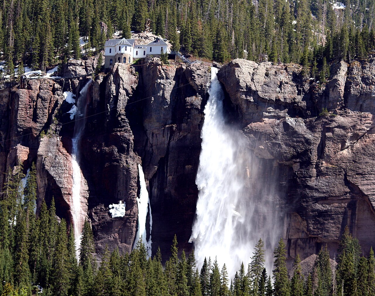
A high waterfall at the head of Telluride’s box canyon, below a historic power plant.
 Visitor guide
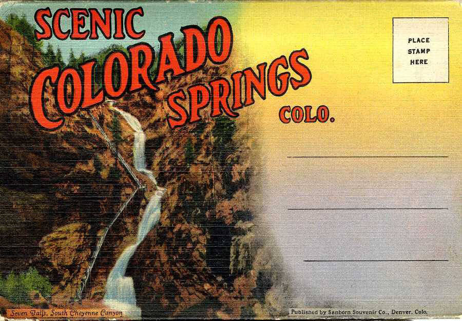
A series of cascading drops inside a narrow box canyon south of Colorado Springs, operated as a ticketed attraction since 1883.
 Visitor guide
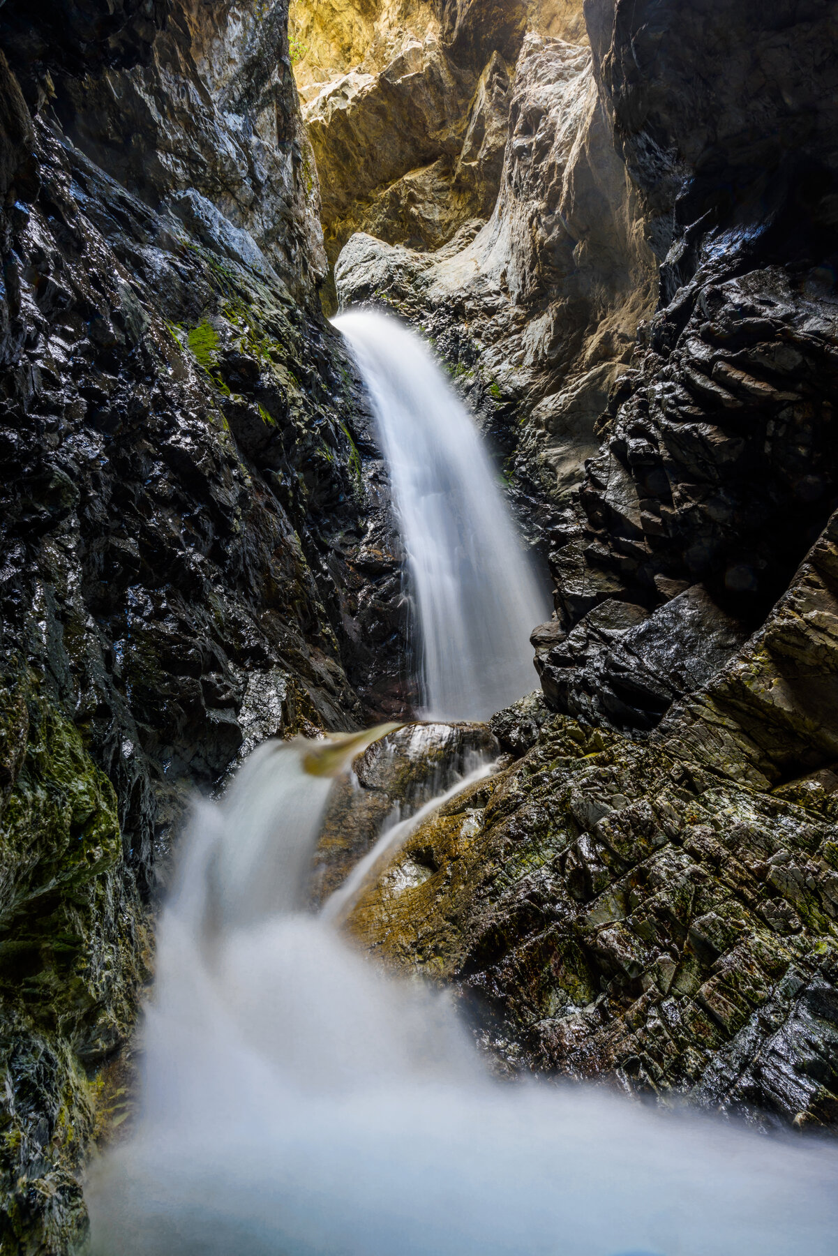
A waterfall tucked in a narrow rock slot, reached by a short, mildly steep hike that fords a stream near Great Sand Dunes National Park.
 Visitor guide
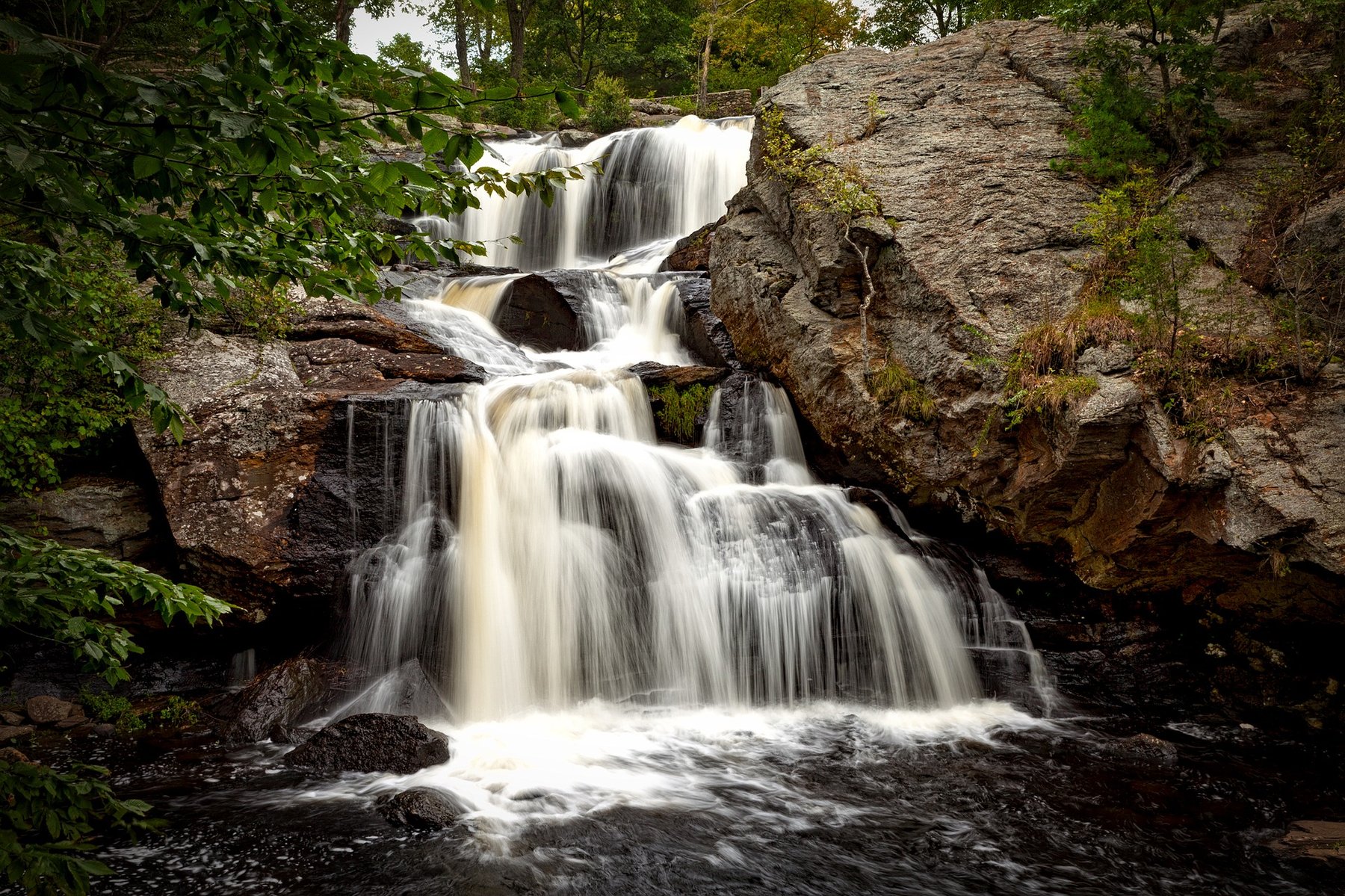
A 60-foot stepped cascade over schist, the centerpiece of Devil's Hopyard State Park in East Haddam.
Turquoise pins are location records; gold pins have visitor guides. Pins identify source feature locations, not confirmed parking or public access. Open a listing for its Google Maps link.
Explore a favourite region, or start somewhere completely new.
Find the designated trailhead or viewpoint before you leave. Geographic coordinates locate a feature; they don't confirm a road, a trail, or public access.
Make sense of the map ↗Snowmelt, rainfall, access roads, and seasonal closures all shape a waterfall trip. Use the current land-manager link in each visitor guide.
Plan for the day ↗Stay on established routes, respect closures and private land, pack out what you bring, and enjoy the view from designated places.
Explore thoughtfully ↗Save a few waterfalls now. Make a little room for wonder later.